
-
FREE RESOURCES
Drone flying & skills
Drone careers & jobs
Drone industry applications

- SCHOOLS
- NEWS
- (888) 626-1490
- Course Login
- SUBSCRIBE

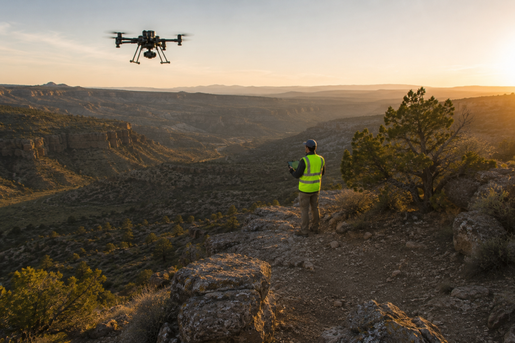
LiDAR drones are drones equipped with LiDAR sensors, which use laser pulses to create highly accurate 3D maps of the terrain and structures below.
They’re widely used for applications like topographic mapping, forestry, mining, infrastructure inspections, and many other types of surveying.
Unlike traditional cameras, LiDAR can accurately measure elevation and, in many cases, capture the ground beneath vegetation. That makes it an invaluable tool for projects where precise terrain data is more important than detailed imagery.
Before LiDAR-equipped drones, LiDAR data was collected:
As LiDAR sensors have become smaller, lighter, and more affordable, they’ve also become practical for a growing number of commercial drone operators.
Today, organizations of all sizes use LiDAR drones to collect accurate terrain data, inspect infrastructure, monitor natural resources, and support engineering and construction projects.
In this guide, you’ll learn how LiDAR drones work, how they compare to photogrammetry, when they’re worth the investment, which models are available today, and the most common applications for LiDAR drone mapping.
[Want to make more money as a drone pilot? Check out our Mapping & Modeling for Drone Pilots course and live virtual drone mapping workshops to see how you can add drone mapping to your list of drone pilot skills.]

A 3D map of powerlines made with LiDAR data collected by drone | Credit: DJI
The phrase LiDAR is an acronym that blends the words light and radar.
In some instances, the blended words are “Light Detection And Ranging,” and in some instances they’re “Light Imaging, Detection, And Ranging.”
3D mapping with LiDAR data involves measuring the distance to a target by illuminating that target with a pulsed laser light, and measuring the reflected pulses with a sensor. The differences in the amount of time it takes for the laser to return, and also in the wavelengths, are then used to make digital 3D-representations of the target.
Sonar is similar. It bounces sound waves off an object and uses the time it takes for them to return to their source to indicate the distance to different points on the object, and thus allow for a 3D visualization of it.

A LiDAR image from Velodyne’s 3D mapping system for drones
Doing aerial data collection with LiDAR by drone instead of by airplane was a new land surveying technique a decade ago. Today, it’s fairly common.
The approach uses high precision laser (i.e., LiDAR) scanners, GPS, and Inertial Navigation Systems (INS). These three data sources combined allow for incredibly precise 3D mapping.
One of the revolutionary aspects of LiDAR is that it allows surveyors to cut through foliage and other intervening debris to create a detailed topographical map of a landscape, without having to take the time to walk it on foot.
Here’s a step-by-step of how LiDAR mapping works:
Most outdoor LiDAR mapping missions rely on high-accuracy GNSS and RTK positioning to determine exactly where the drone is as it collects data.
But what happens when GPS signals become unreliable—or disappear altogether?
That’s where SLAM (Simultaneous Localization and Mapping) comes in.
SLAM is a technique that allows a device to build a map of its surroundings while simultaneously determining its own position within that map. On LiDAR-equipped drones, it combines laser scans with onboard sensors to create accurate 3D maps in places where GPS alone can’t provide reliable positioning.
Instead of relying solely on satellite positioning, SLAM allows a drone to estimate its own position by continuously comparing LiDAR scans and other sensor data as it moves through an environment.
This makes SLAM especially valuable for mapping in GPS-denied environments such as mines, tunnels, warehouses, industrial facilities, and other confined spaces.

A SLAM 3D map made in real time with the Elios 3 | Credit: Flyability
Drones like the Flyability Elios 3 use SLAM to build detailed 3D maps while maintaining awareness of their position, even when flying where satellite signals can’t reach.
For most surveying, construction, and mapping projects, RTK-enabled GPS remains the preferred positioning method.
But as SLAM technology continues to improve, it’s expanding the types of environments where LiDAR drones can safely collect accurate mapping data.
When it comes to surveying, there has been an ongoing argument about the comparative values of photogrammetry and LiDAR, and which is best.
But the truth is that there isn’t one right answer. It’s really a question of the specific application being considered. Photogrammetry is right for some instances, while LiDAR is right for others.
Also, improvements in photogrammetry software continue to narrow the gap for many mapping projects, making cost and vegetation penetration two of the biggest deciding factors.

A LiDAR system from RedTail LiDAR
Photogrammetry is the science of making measurements from photographs for recording the exact positions of surface points in order to produce a 3D map.
Photogrammetry has historically been an exhaustive, time consuming process, but drones have radically changed things, both by allowing for thousands of aerial pictures to be taken of a single site in one flight, and also because new technology has been developed to help integrate all of those photos into a single 3D map.
So how do you know whether to use LiDAR or photogrammetry?
In general, the rule of thumb is that photogrammetry is good for surveying large sites that aren’t obstructed by tree cover or other impediments, while LiDAR is good for smaller, obstructed sites.
(It’s worth noting that these size recommendations are mainly about cost—as LiDAR becomes cheaper, cost may be less and less of a contributing factor in choosing one or the other technology for surveying needs.)
Here are some guidelines to help you navigate the photogrammetry/LiDAR decision:
LiDAR is one of the most powerful mapping technologies available for drones. But that doesn’t mean it’s the right investment for every drone pilot.
For many commercial operators, modern photogrammetry software paired with a high-quality mapping drone can produce excellent results at a significantly lower cost.
If your projects involve open terrain with good visibility, photogrammetry may be all you need.
A LiDAR-equipped drone becomes worthwhile when traditional photography starts to reach its limits.
If you’re mapping beneath tree canopy, surveying complex terrain, measuring stockpiles, or inspecting long infrastructure corridors, LiDAR can capture information that cameras often can’t.
The easiest way to decide is to start with the type of work you do most often.
In general, LiDAR is best for projects where accurate terrain data is the priority, while photogrammetry is often the better choice when detailed imagery is all you need.
LiDAR tends to provide the greatest return when accurate terrain information is more important than detailed imagery.
Its ability to capture multiple laser returns and generate highly accurate elevation models makes it especially valuable in environments where vegetation, uneven terrain, or complex infrastructure would reduce the accuracy of photogrammetry.
| If you regularly… | LiDAR is often the better choice because… |
|---|---|
| Map forests or heavily vegetated areas | Laser pulses can capture ground elevations beneath tree canopy. |
| Survey utility, railway, or pipeline corridors | LiDAR accurately models long, narrow infrastructure and the surrounding terrain. |
| Work in mining or quarry operations | Highly accurate elevation models improve volumetric calculations and site planning. |
| Create bare-earth terrain models | LiDAR can often distinguish ground returns from vegetation. |
| Perform engineering or environmental surveys | Greater vertical accuracy can reduce repeat field visits and improve project quality. |
LiDAR isn’t automatically the better solution. For many projects, photogrammetry delivers excellent results while keeping equipment costs much lower.
If you’re creating 3D models of buildings, documenting construction progress, mapping agricultural fields with minimal tree cover, or producing aerial imagery for clients, a traditional mapping drone paired with modern photogrammetry software is often the more practical choice.
| If you regularly… | Photogrammetry is often the better choice because… |
|---|---|
| Map construction progress | Modern photogrammetry produces highly detailed 3D models and orthomosaics at a lower cost. |
| Create real estate or marketing imagery | High-resolution photographs are usually more valuable than LiDAR point clouds. |
| Survey open fields with minimal tree cover | Photogrammetry can deliver excellent accuracy when the ground is clearly visible. |
| Operate a small surveying or drone services business | Lower equipment costs make it easier to achieve a positive return on investment. |
| Only occasionally need terrain mapping | Outsourcing LiDAR projects is often more economical than purchasing specialized equipment. |
Many commercial drone pilots build successful mapping businesses using photogrammetry alone before deciding whether LiDAR is necessary.
As your projects become more specialized—or your clients begin requesting bare-earth models, highly accurate terrain data, or mapping beneath vegetation—the investment in LiDAR may start to make financial sense.
The good news is that LiDAR systems have become much more accessible over the past several years.
Modern sensors are smaller, lighter, and easier to integrate with commercial mapping drones than earlier generations, making LiDAR a realistic option for more organizations than ever before.
Most LiDAR systems are modular payloads rather than all-in-one drones.
When evaluating a LiDAR drone, you’re really evaluating three things together: the aircraft, the LiDAR payload, and the software used to process the data.
Some manufacturers offer fully integrated LiDAR solutions, while others let you pair different sensors with the same aircraft depending on your mapping needs.
Here are some of the best LiDAR drone platforms available today.
Why it’s a top pick:
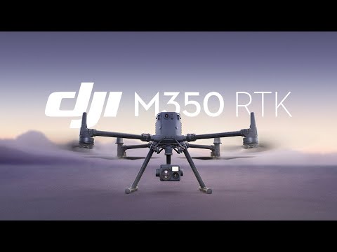
The DJI Matrice 350 RTK is a versatile, powerful drone designed for industrial applications, particularly those requiring high-precision LiDAR data. With the ability to carry heavy payloads, including high-performance LiDAR sensors, the Matrice 350 RTK ensures accurate and efficient data collection across various challenging environments.
Key specs:

Why it’s a top pick:
The Microdrones mdLiDAR1000 is a specialized drone designed specifically for precision LiDAR mapping and surveying applications.
It comes with advanced GNSS and IMU systems that provide high-precision georeferencing, crucial for accurate 3D modeling and topographic mapping, and its modular design allows for easy transportation and quick deployment in the field.
Key specs:

Why it’s a top pick:
The Flyability Elios 3 is a professional inspection drone designed specifically for indoor inspection and mapping, including applications requiring LiDAR technology.
Equipped with the Ouster OS0-32 LiDAR sensor, the Elios 3 is specifically designed for flight in confined spaces and hazardous environments, such as industrial facilities, tunnels, and mines. Its advanced navigation system, including visual and thermal cameras, ensures precise positioning and comprehensive data collection.
Key specs:
Why it’s a top pick:
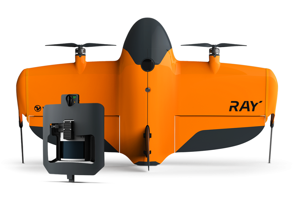
WingtraRAY with Wingtra LIDAR is a professional drone solution designed for terrain mapping, vegetation penetration and complex survey sites.
It combines vertical takeoff and landing with fixed-wing flight efficiency, helping surveying, forestry, mining, construction and environmental teams capture reliable LIDAR data and create point clouds, digital terrain models and digital surface models.
Key specs:
LiDAR drones have revolutionized the way we collect and analyze spatial data across a huge swath of industries.
The versatility and precision of LiDAR-equipped drones, and their lower cost as compared to alternatives, have made them indispensable tools in a wide range of applications. By providing detailed insights and improving data collection methods, they are helping industries achieve greater efficiency, safety, and accuracy in their operations.
Here’s a list of the top applications for LiDAR drones today.*
*Note: New applications are cropping up all the time! Which means this list will likely be even longer in just one or two more years from now.
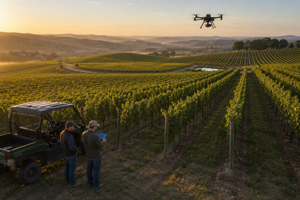
LiDAR drones are transforming agriculture by providing precise data on crop health, field elevation, and soil properties. They enable farmers to monitor large areas quickly, identifying issues such as disease, pest infestations, and irrigation problems.
These agricultural drones help optimize planting patterns and irrigation plans by mapping terrain and soil characteristics. The high-resolution data supports precision agriculture, enhancing crop yields and resource efficiency.
Top use cases for LiDAR drones in agriculture:
Example drone hardware and software for drone LiDAR in agriculture:
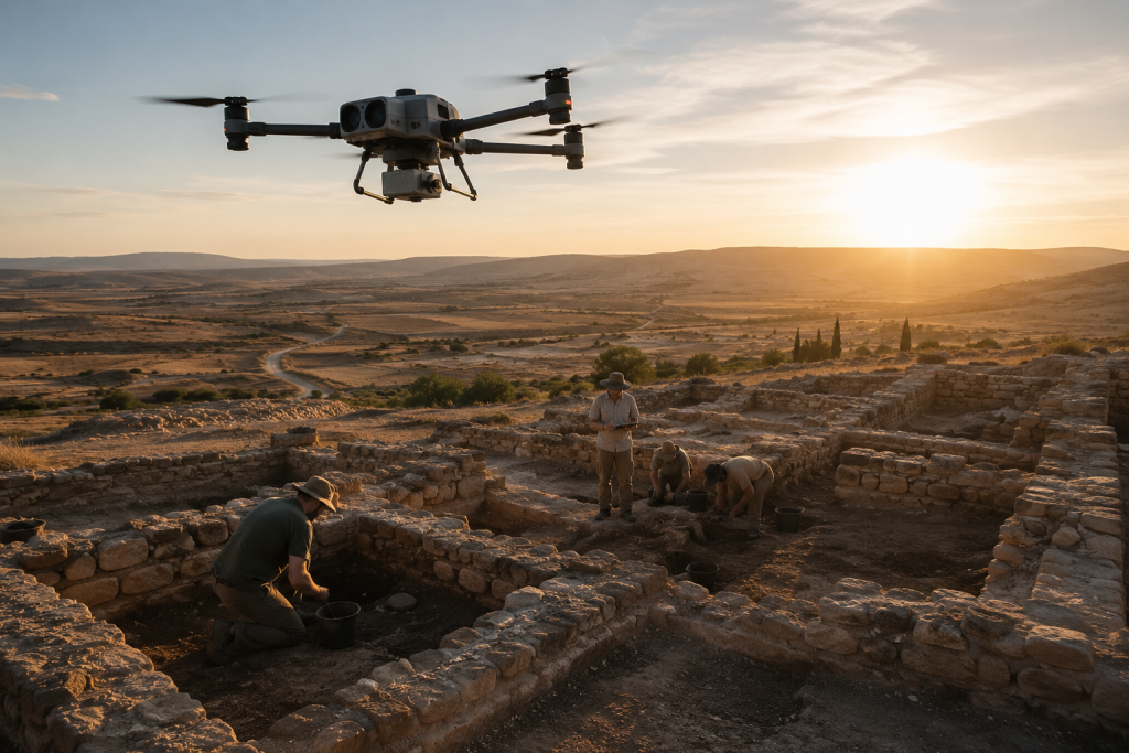
LiDAR drones revolutionize archaeology by revealing hidden structures and landscapes beneath vegetation and soil. They create detailed topographic maps that help archaeologists identify excavation sites and study ancient civilizations.
These drones provide non-invasive methods to explore and document archaeological sites, preserving their integrity. The high-resolution data aids in mapping, excavation planning, and historical research.
Top use cases for LiDAR drones in archaeology:
Example drone hardware and software for drone LiDAR in archaeology:
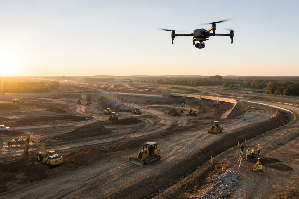
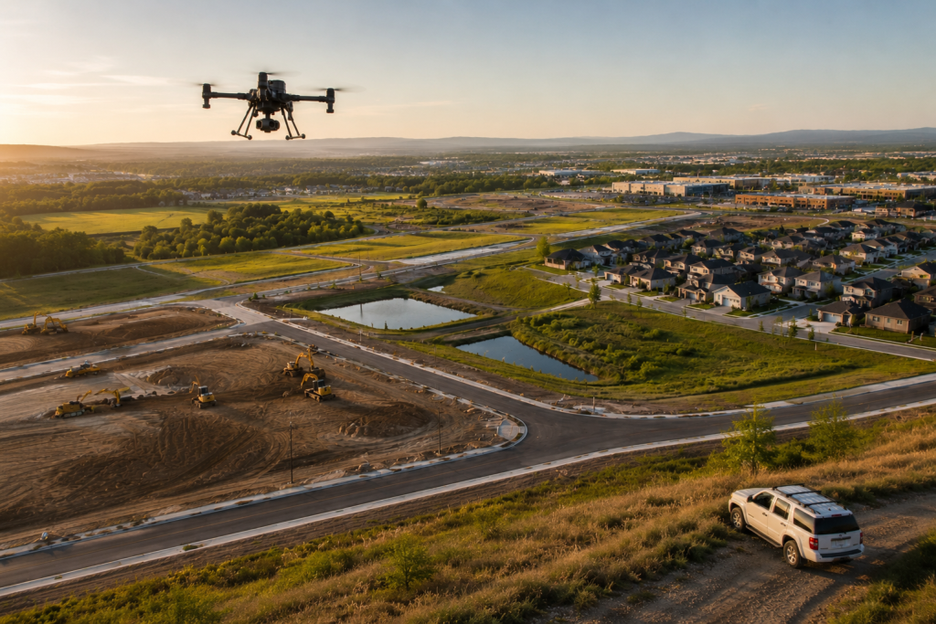
LiDAR drones streamline construction site management by providing real-time data on site conditions, progress tracking, and quality control. They generate accurate 3D models of construction sites, helping managers make informed decisions.
These drones enhance efficiency by identifying potential issues early, ensuring safety, and reducing project delays. The high-resolution data supports project planning and execution, from initial site surveys to final inspections.
Top use cases for LiDAR drones in construction:
Example drone hardware and software for drone LiDAR in construction:
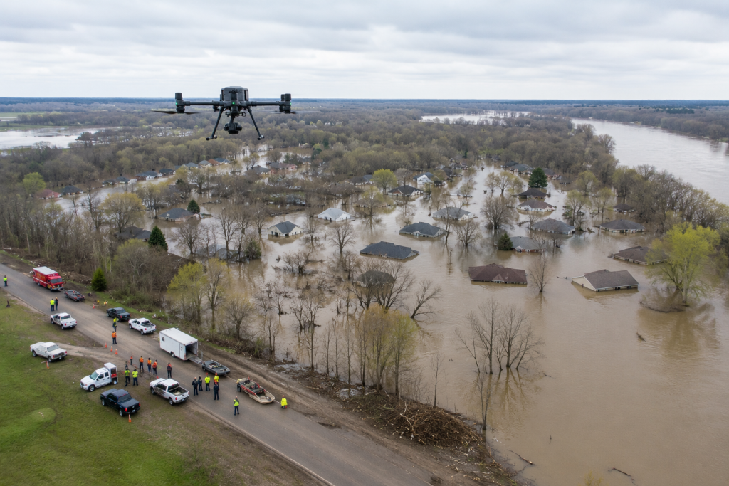
LiDAR drones are essential in disaster management, providing rapid assessment of affected areas. They generate detailed maps to aid in emergency response, damage assessment, and recovery planning.
These drones can quickly survey large disaster zones, identifying safe routes, assessing structural damage, and locating survivors. The data helps coordinate rescue operations and allocate resources effectively.
Top use cases for LiDAR drones in disaster management:
Example drone hardware and software for drone LiDAR in disaster management:

LiDAR drones are essential for monitoring environmental changes, such as coastal erosion, riverbank stability, and habitat mapping. They provide accurate topographic data, enabling scientists to track changes in ecosystems over time.
These drones help assess the impact of climate change and human activities on natural landscapes. The detailed data supports environmental conservation, restoration projects, and policy-making.
Top use cases for LiDAR drones in environmental monitoring:
Example drone hardware and software for drone LiDAR in environmental monitoring:
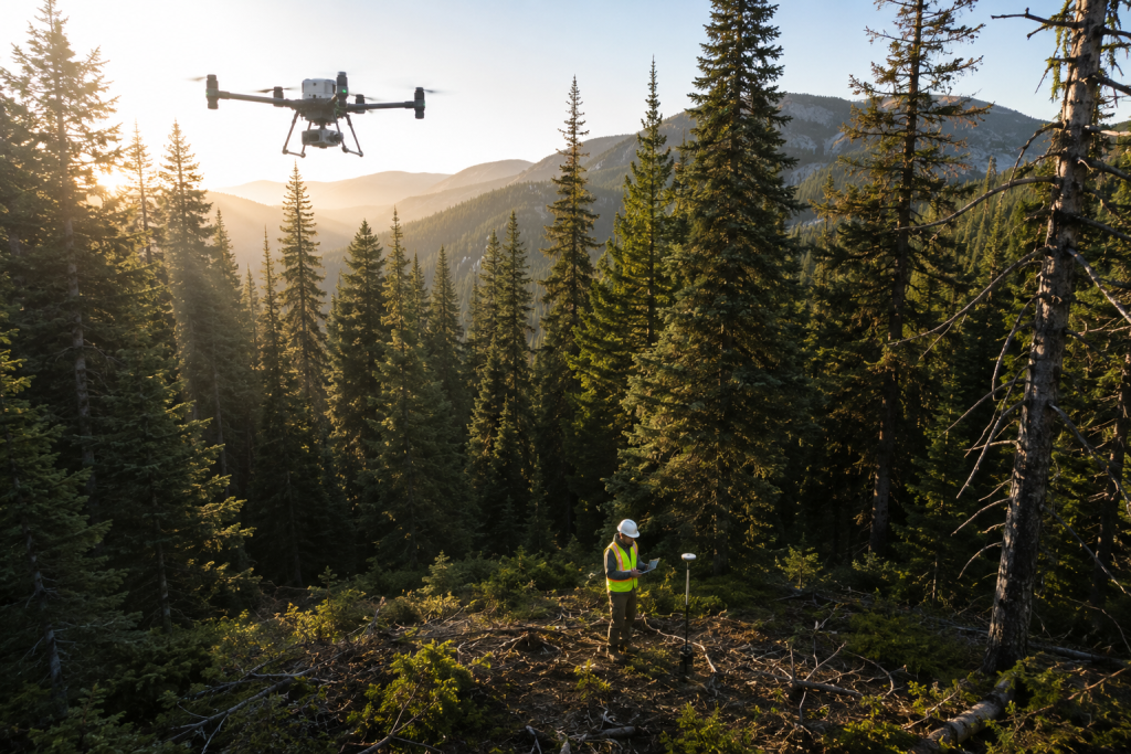
LiDAR drones provide detailed 3D maps of forested areas, helping in the assessment of tree height, canopy density, and biomass. They support forest management by identifying areas affected by disease, fire, or logging activities.
These drones enable precise monitoring of forest health and growth, aiding in sustainable forest management and conservation efforts. High-resolution LiDAR data is crucial for tracking changes over time and planning reforestation projects.
Top use cases for LiDAR drones in forestry:
Example drone hardware and software for drone LiDAR in forestry:
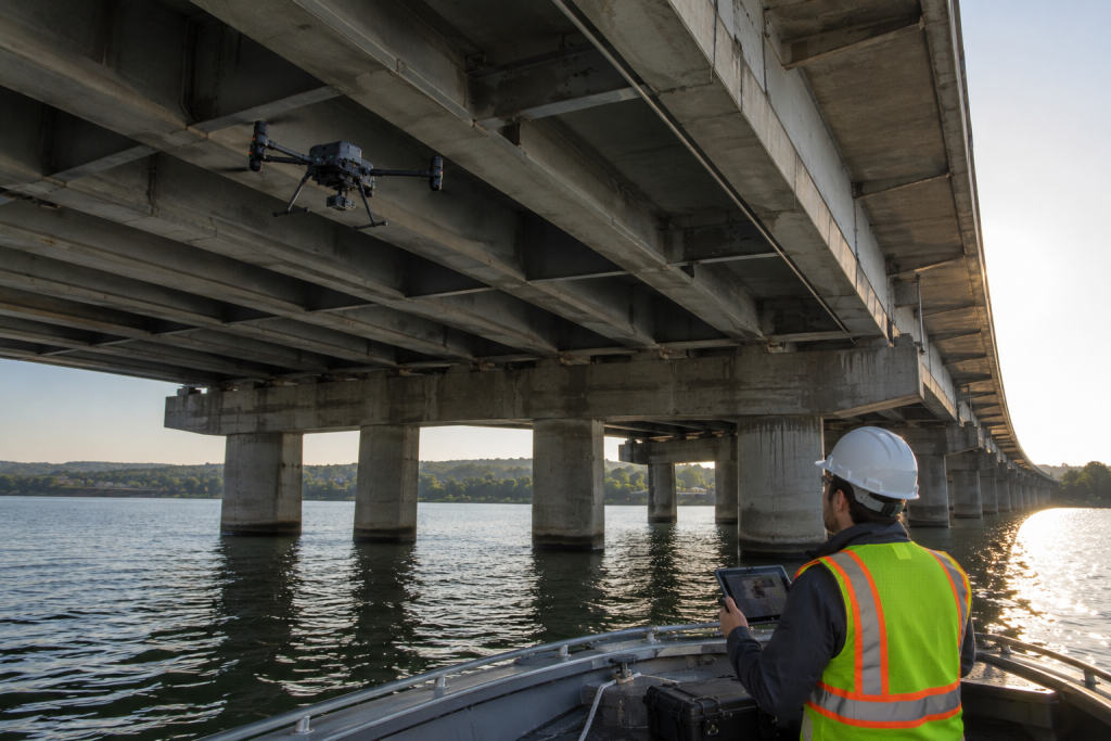
LiDAR drones are invaluable for inspecting critical infrastructure such as bridges, roads, and dams. They provide detailed structural data, helping identify wear and tear, potential hazards, and maintenance needs.
These drones reduce inspection time and improve safety by accessing hard-to-reach areas. The precise data aids in maintaining infrastructure integrity, ensuring public safety, and planning repair projects.
Top use cases for LiDAR drones in infrastructure inspections:
Example drone hardware and software for drone LiDAR in infrastructure inspections:
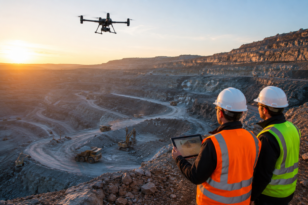
LiDAR drones are vital in the mining industry, offering precise mapping and monitoring of mining sites. They help assess mineral deposits, plan excavation strategies, and monitor environmental impacts.
These drones improve operational efficiency by providing accurate data on terrain and resource locations. They support safety by identifying potential hazards and monitoring mine stability.
Top use cases for LiDAR drones in mining:
Example drone hardware and software for drone LiDAR in mining:
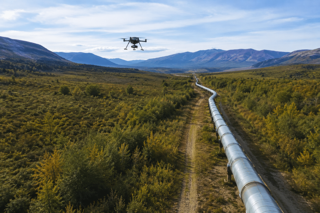
LiDAR drones are essential for monitoring pipelines, providing accurate data on pipeline integrity and surrounding environments. They help detect leaks, corrosion, and potential hazards along pipeline routes.
These drones enhance safety and efficiency by enabling regular inspections and rapid response to issues. The data supports maintenance and repair planning, ensuring the safe and reliable operation of pipeline systems.
Top use cases for LiDAR drones in pipeline monitoring:
Example drone hardware and software for drone LiDAR pipeline monitoring:
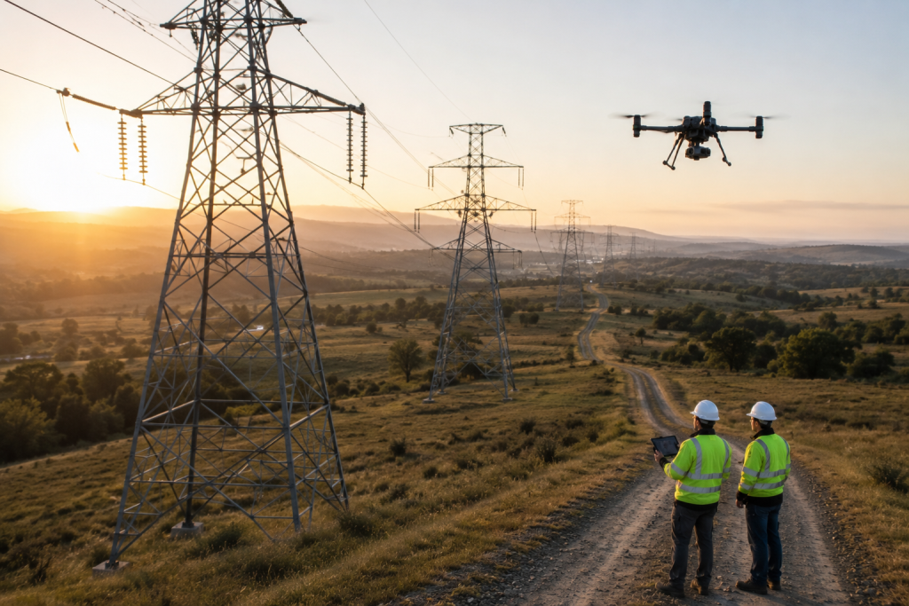
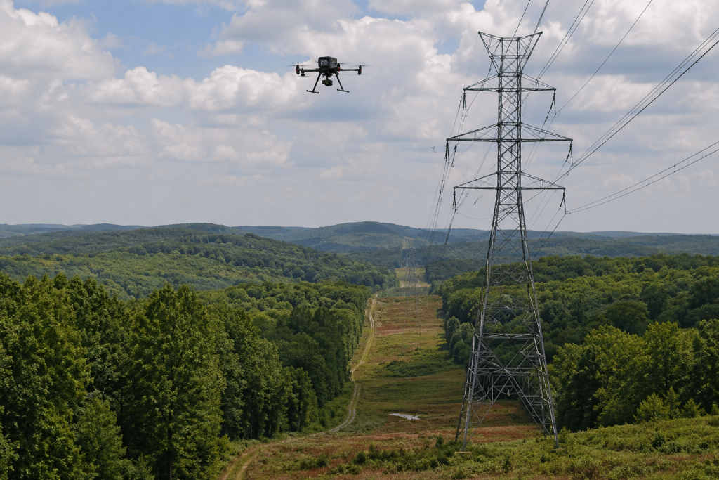
LiDAR drones play a crucial role in inspecting power lines, providing detailed data on line condition and surrounding vegetation. They help identify potential hazards such as overgrown branches or structural damage.
Using drones for inspections reduces the risk to human inspectors and improves efficiency by accessing difficult or dangerous areas. The precise data supports maintenance planning and ensures the reliability of power infrastructure.
Top use cases for LiDAR drones in power line inspections:
Example drone hardware and software for drone LiDAR power line inspections:

LiDAR drones are invaluable for inspecting railway tracks, offering detailed assessments of track conditions and surroundings. They help detect track deformations, vegetation encroachment, and infrastructure wear.
These drones enhance safety and efficiency by providing real-time data, reducing the need for manual inspections. The high-resolution data supports maintenance and repair planning, ensuring the smooth operation of railway networks.
Top use cases for LiDAR drones in railway inspections:
Example drone hardware and software for drone LiDAR railway inspections:
LiDAR drones assist in planning telecommunications networks by providing detailed topographic and structural data. They help identify optimal locations for towers and infrastructure, ensuring efficient network coverage.
These drones enhance planning by creating accurate 3D models of urban and rural areas. The data supports the design and deployment of telecommunications networks, improving connectivity and service quality.
Top use cases for LiDAR drones in telecommunications network planning:
Example drone hardware and software for drone LiDAR telecommunications work:
LiDAR drones create high-resolution topographic maps, capturing detailed information about the Earth’s surface. These maps are used in various fields, including geology, land surveying, and infrastructure development.
The precision of LiDAR data makes it ideal for mapping challenging terrains and inaccessible areas. It supports accurate land-use planning, flood risk assessment, and geotechnical studies.
Top use cases for LiDAR drones in topographic mapping:
Example drone hardware and software for drone LiDAR topographic mapping:
LiDAR drones are crucial in urban planning, providing detailed 3D models of cities and towns. These models help planners assess land use, infrastructure development, and potential growth areas.
By capturing accurate topographic and structural data, LiDAR drones aid in the design of efficient transportation systems, zoning, and disaster preparedness plans. They enhance the ability to visualize urban landscapes and make informed decisions.
Top use cases for LiDAR drones in urban planning:
Example drone hardware and software for drone LiDAR urban planning:

LiDAR drones provide detailed data for analyzing wildlife habitats, helping to map terrain and vegetation structure. They support conservation efforts by identifying critical habitats and monitoring changes over time.
These drones aid in tracking animal populations, assessing habitat quality, and planning conservation strategies. The high-resolution data is crucial for studying biodiversity and ecosystem health.
Top use cases for LiDAR drones in wildlife monitoring:
Example drone hardware and software for drone LiDAR wildlife monitoring:


