

Yuneec Rolls Out RTK Satellite Navigation for Their H520
BY Zacc Dukowitz
7 February 2019Yuneec recently announced that their H520 hexacopter will now be available with an RTK (Real Time Kinematic) system, provided by the Swiss company Fixposition.
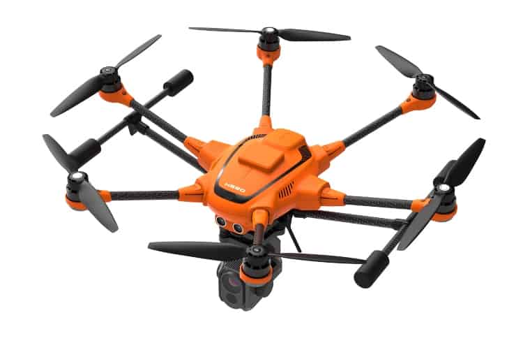
Photo credit: Yuneec
According to Yuneec, the RTK system will ensure maximum precision for mapping and inspections. The RTK integrated satellite navigation allows for centimeter-precise positioning, with accurate recurring images and faster 3D mapping. This increased reliability will benefit drone operators flying in tricky GPS conditions, such as in cities or canyons.
Benefits of the RTK System
RTK systems help support commercial drone applications that require maximum precision. By using RTK technology, the H520 will now be able to fly closer to objects for inspection, thus resulting in the collection of more precise data.
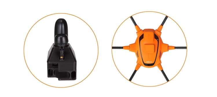
Photo credit: Yuneec
How much closer? According to Yuneec, while the H520 can currently fly within the meter range for inspections without the RTK, with the RTK it will be able to fly within the centimeter range (1 cm + ppm horizontal / 1.5 cm + ppm vertical).
This improvement in accuracy is most important in those applications where several images need to be taken at the same location on different days. Some examples of these kinds of scenarios include:
- Documenting progress on construction sites
- Inspecting mountain landscapes to prevent natural hazards, such as rock falls or avalanches
- Forensic accident scene reconstruction
The RTK satellite navigation system also makes it possible to significantly reduce image overlaps, which means fewer photos, shorter model calculation times, and maximizing efficiency in workflows.
The H520 RTK system is fully integrated into both the hardware and the software of the H520, so that drone pilots can retain the functionality of Yuneec’s DataPilot software for mission planning and other key operations.
The system works with two components—the RTK module on board the H520 and a base station on the ground. For precise navigation, the module supports constellations of up to three different satellite systems from GPS, GLONASS, Galileo and BeiDou.
If the use of a ground station isn’t possible, the system can also be operated with a national reference station network (network RTK). The network RTK is provided by third-party providers and requires an internet connection, such as a mobile hotspot. All data, including satellite data, is recorded, making the H520 RTK a good option for post processed kinematics (PPK).
About the Yuneec H520
The Yuneec H520 was first unveiled at CES 2017. Since then it has held a solid position in the drone industry as a reliable professional drone at a reasonable price point. (The H520 is currently on sale for about $1,800.)
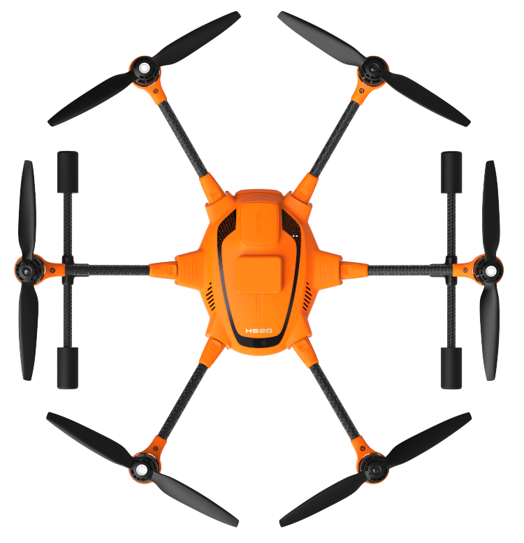
Photo credit: Yuneec
Key Specs for the H520
- Battery life: 25 minutes
- Camera: 4K / 2K / HD
- Remote Control: ST16S
- Max Altitude: 500m
- Max Flight Time: 25 minutes
- Weight: 3.6 lbs (with battery, without gimbal)
- Notable Attributes: Hexacopter = Better Redundancy, Obstacle Avoidance, 360-degree camera

Releasing the RTK option for the H520 helps Yuneec in the fight to maintain their position in the market as a cost-effective professional drone.
When Can You Buy the H520 with RTK?
The H520 RTK will be available starting in April of 2019 in these two configurations:
- As a complete system, including the H520 airframe and RTK module, for $3,199.
- As an upgrade for existing H520 customers for $1,699.
For those who want to buy the H520 RTK GPS ground station only, it will be sold separately for $2,399.
Are you excited about the release of the H520 RTK system? Share your thoughts in this thread on the UAV Coach community forum.


