Threatened with Jail for Drone Mapping, North Carolina Man Makes Important First Amendment Fight

BY Zacc Dukowitz
31 January 2024

Surveyors in North Carolina are worried about drone pilots encroaching on their work.

So much so that they say any georeferenced image or output made using a drone and sold to a client—whether it’s a photo, a 2D map, or a 3D map—would be considered surveying without a license.

Let’s pause on this.

According to this definition, if you were paid to take an aerial picture of someone’s property for their own use, if that picture had georeferenced metadata attached to it—even if you were unaware that it had that data and it wasn’t part of what you were offering or selling—you could face prosecution for doing surveying work without a license.

This view seems pretty extreme, and pretty silly. But the state has backed it up.

drone-mapping-first-amendment
Credit: Institute for Justice

According to the North Carolina Board of Examiners for Engineers and Surveyors, aerial mapping is survey work. And it can only be done by a licensed surveyor.

Of course, surveyors have a big stake in this debate. If someone can hire a drone pilot to get a quick georeferenced map of their land for half what they might pay a surveyor, surveyors stand to lose a lot of business.

But what about people who just want photos of their land? Or a quick orthomosaic to show real estate clients? Apparently, all of this work would have to be done by a licensed surveyor, and at a much higher cost than a non-licensed drone pilot would charge.

And this isn’t just an academic argument. According to the Institute for Justice (IJ), the non-profit that’s taken North Carolina to court over this issue, surveyors are actively going after drone pilots for doing any kind of work that contains even basic land information.

For years, the state’s land-surveying board has targeted small-time drone operators, claiming their maps and models amount to illegal ‘surveying.’

– The Institute for Justice

The Court Case Against North Carolina

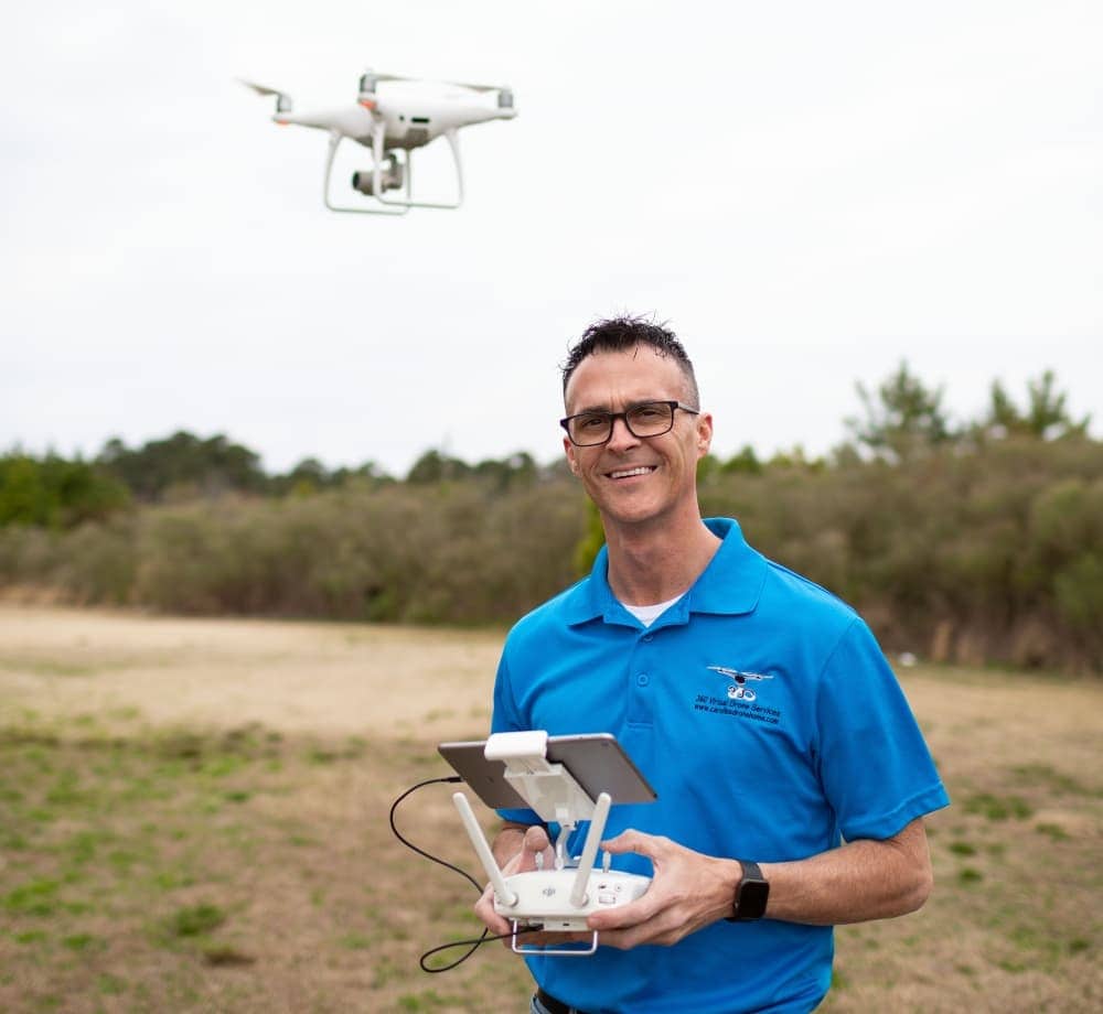
The case that’s bringing North Carolina’s state restrictions on drone mapping to the public eye is one filed by a drone pilot named Michael Jones, who owns a company called 360 Virtual Drone Services LLC.

Representing him is the Institute for Justice, whose focus as a non-profit is on protecting first amendment freedoms. Jones’ lawyers have argued that taking and sharing drone pictures is a form of free speech that’s protected by the first amendment.

Drone Operator Threatened with Jail for Helping Local Businesses Make Maps

But this argument didn’t work out for him the first time the case was heard.

In that case, the court sided with the North Carolina Board of Engineers, finding that the state could punish drone pilots for creating and sharing even basic land information if they weren’t surveyors.

The IJ is appealing the verdict, calling out the state of North Carolina for stifling innovation.

Licensing boards should not be able to use their authority just to protect businesses from competition. The government should step out of the way and let innovative businesses like Michael’s continue serving their customers.

– James Knight, Attorney for IJ

What Exactly Does the State of North Carolina Require?

The trouble for Michael Jones began in 2018, when he got a letter from the North Carolina Board of Examiners for Engineers and Surveyors.

In the letter, he was told that the commercial drone work he did was illegal because it constituted surveying without a license. The Board demanded that he stop immediately or face criminal and civil prosecution.

Worried about the threat, Jones soon shut down his small drone services business. And he’s not alone. At least a half dozen other drone service providers in North Carolina closed or significantly changed their offerings after receiving similar letters.

north-carolina-first-amendment-drones

So what exactly did Jones do that attracted the wrath of the Board?

First, it’s important to say that Jones never positioned his aerial services as survey work.

In fact, he’d been very careful to say on his website that he was not a surveyor, and that his aerial photos and any 2D or 3D outputs he made with them didn’t establish property lines, and that they couldn’t be used for surveying purposes.

But none of that mattered. According to an investigator from the Board, what he was doing was illegal.

Here are some of the specific activities the Board said weren’t allowed:

  • Providing images of a property that contained metadata (i.e., elevation, distance, or GPS coordinates).
  • Providing stitched together images of a property (i.e., orthomosaics)—even if you didn’t take the pictures, just stitching them together using orthomosaic software could get you in trouble, according to the Board investigator.
  • Drawing approximations—even rough ones—of property lines on images.

The first two are incredibly broad.

If you can’t share any photo of a property that contains metadata or stitch together images of a property, that effectively means you can’t do real estate marketing with your drone, which is one of the more common services small drone companies offer.

It’s easy to see how the vagueness and broadness of this language could create a chilling effect for anyone thinking about offering drone services.

If you’re worried you’ll get fined for just taking a drone photo of someone’s property, you may not offer any kind of service that could include pictures of property, buildings, or land. You may even decide that offering any kind of drone service is too fraught with potential legal pitfalls, and decide to drop the whole endeavor.

This case is important because it could be used as a model for other state surveying boards, who might become emboldened to launch their own attacks on small drone businesses.

We’ll be watching closely as the IJ appeal makes its way through the system, and will keep you posted as the case develops.

Join a global community of

100,000+

drone enthusiasts.

Subscribe

Drone Pilot's Guide to DJI Mini 4 Pro

  • Navigate the DJI Fly app and flight modes with ease
  • Adjust camera and safety settings for better control
  • Understand intelligent flight features and how to use them
  • Avoid common beginner mistakes
  • Get the most out of your drone—without the guesswork

Drone Pilot's Guide to DJI Air 3S

  • Navigate the DJI Fly app and flight modes with ease
  • Adjust camera and safety settings for better control
  • Understand intelligent flight features and how to use them
  • Avoid common beginner mistakes
  • Get the most out of your drone—without the guesswork

Hands-On Flight Training

$295

400+ 5-Star Reviews

  • Team up with a knowledgeable, friendly instructor at a convenient outdoor spot — like a park or athletic field
  • Fly a top-rated drone provided for you, or bring your own to get personalized guidance
  • Spend most of your time in the air with hands-on practice — learning about composition, camera angles and cinematic motion
  • Explore the DJI Fly app and learn how to use camera settings like ISO, shutter speed and aperture
  • Unlock the power of Intelligent Flight Modes to fly smoother, smarter, and with less stress
  • Get access to our Aerial Photo & Video online course with additional exercises and pro-level editing workflows – using Snapseed, Photopea, Adobe Lightroom, DJI LightCut, and Premiere Pro

Aerial Photo & Video for Drone Pilots

$179

3,500+ 5-Star Reviews

  • How to dial in the right camera settings like ISO, shutter speed, and aperture
  • The best angles & altitudes for different types of shots (real estate, landscapes, cityscapes, and more)
  • The secret to cinematic drone motion that makes your footage feel like a Hollywood movie
  • How to enhance colors, remove distractions, and sharpen details – even in tricky lighting
  • Pro-level editing workflows – whether you’re using Lightroom, free tools, or mobile apps

The Recreational UAS Safety Test

Free

150+ 5-Star Reviews

  • Required for U.S. recreational flyers of drones
  • Launched June 2021 by the FAA
  • Takes about 30 minutes to complete
  • No prior drone knowledge needed
  • Test allows unlimited attempts to pass

Drone Mapping Essentials Workshop

$799

3,500+ 5-Star Reviews

  • Expert instruction from expert drone pilots with over 100 hours of flying experience
  • Hands-on training of live data capture and how to process deliverables for your clients
  • Peer-to-peer networking with other professional drone pilots in the mapping industry
  • Free access to the online course, Drone Mapping Essentials

Flight Skills for Drone Pilots

$99

75+ 5-Star Reviews

  • 16 engaging video lectures with key takeaways
  • Action items with concrete steps so you put into practice what you learn
  • Pre-flight checklists to help you plan your flights
  • Resource links to websites, products and software for further learning and discovery

Drone Business & Mapping Bundle

$617 $397

3,500+ 5-Star Reviews

  • Drone Pilot Ground School
    1. 1:1 support with a Part 107 exam success coach
    2. Study 100% online at your own pace
    3. Unlimited practice exams with 400+ real FAA test questions
  • Drone Mapping Essentials
    1. 100+ instructional videos focused on real-world application with high-quality videos
    2. Downloadable resources like data capture checklists to utilize in your missions
    3. Monthly live instruction with course instructor, Dylan Gorman, to go deeper on topics where you need more clarification
  • The Drone Business Blueprint
    1. Expert instruction from industry veteran, Eno Umoh, who brings real-world experience in building successful drone businesses.
    2. 14 Comprehensive modules covering everything from business setup to marketing strategies
    3. 30 Downloadable resources to apply your learning immediately

Hands-On Flight Training

$295

400+ 5-Star Reviews

  • 45-60 minutes of hands-on flying time to master orientation and flight maneuvers tailored to your skill level
  • Learn how to handle obstacles such as lost GPS, low battery charge or emergencies
  • Practice flying under various intelligent flight modes
  • Ask questions about regulations, software, flight operations management, and more

The Drone Business Blueprint

$119

3,500+ 5-Star Reviews

  • Expert instruction from industry veteran, Eno Umoh, who brings real-world experience in building successful drone businesses.
  • 14 Comprehensive modules covering everything from business setup to marketing strategies
  • 30 Downloadable resources to apply your learning immediately
  • AI tools and techniques to boost productivity and streamline your operations

Commercial Drone Business Bundle

$418 $334

4,000+ 5-Star Reviews

  • Drone Pilot Ground School
    1. 1:1 support with a Part 107 exam success coach
    2. Study 100% online at your own pace
    3. Unlimited practice exams with 400+ real FAA test questions
  • The Drone Business Blueprint
    1. Expert instruction from industry veteran, Eno Umoh, who brings real-world experience in building successful drone businesses.
    2. 14 Comprehensive modules covering everything from business setup to marketing strategies
    3. 30 Downloadable resources to apply your learning immediately

Drone Mapping Essentials

$199

3,500+ 5-Star Reviews

  • 100+ instructional videos focused on real-world application with high-quality videos
  • Downloadable resources like data capture checklists to utilize in your missions
  • Quizzes to test your knowledge so you can succeed in the field
  • Monthly live instruction with course instructor, Dylan Gorman, to go deeper on topics where you need more clarification

Drone Pilot Pro Bundle

$713 $499

3,500+ 5-Star Reviews

  • Drone Pilot Ground School
    1. 1:1 support with a Part 107 exam success coach
    2. Study 100% online at your own pace
    3. Unlimited practice exams with 400+ real FAA test questions
  • Drone Pilot Skill Builder
    1. 16 engaging video lectures with key takeaways
    2. Action items with concrete steps so you put into practice what you learn
  • Hands-On Flight Training
    1. 45-60 minutes of hands-on flying time to master orientation and flight maneuvers tailored to your skill level

Drone Pilot Ground School

$299

4,000+ 5-Star Reviews

  • 1:1 support with a Part 107 exam success coach
  • Study 100% online at your own pace
  • Unlimited practice exams with 400+ real FAA test questions
  • Personalized study plans, virtual flashcards, and 12-page cram sheet
  • Weekly webinars on acing the Part 107 exam and monthly webinars to elevate your journey post-certification