Flying Drones from 124 Miles Away for Power Line Inspections

BY Zacc Dukowitz
15 December 2021

Elon Musk’s company SpaceX Starlink recently teamed up with Australian-based Unleash live, an A.I. video analytics and live streaming provider.

The project? Fly a drone located over a hundred miles away using a satellite hookup.
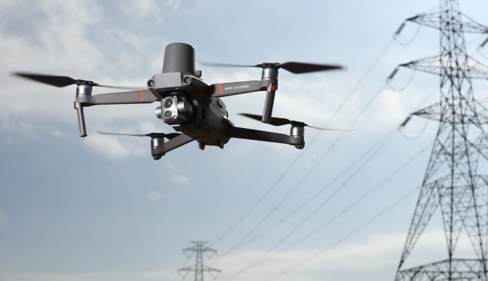
mavic-2-power-lines-unleash-live
Credit: DJI

Combining Unleash live’s new Autofly software and Starlink’s network of low-earth-orbiting satellites, drone operators in Sydney recently flew a drone located in a remote area that was 124 miles away, on the east coast of Australia.

Two tests were performed using this long-range remote control, each of which was supported by an AI-powered app. One of the tests was for people counting and tracking by drone, and the other was for power line fault detection by drone.

Now that these two tests have been completed, Unleash live has released a beta version of its Autofly software.

There are two things that this [satellite-supported operation] enables: One is to get the data off the drone in high quality and at high speed to an office location or remote expert. The second element that we offer is the ability to interact with the drone in the field. We can navigate the drone to better inspect and provide better operational clarity while the drone is in the air.

– Hanno Blankenstein, CEO and Co-Founder of Unleash live

How Unleash live Supports Commercial Drone Operations

At its heart, Unleash live’s mission is to make the data that drones collect actionable and shareable.

Inspect Pipeline Remotely with UAV Technology - Unleash live

The actionable aspect of the company’s work comes from its AI-powered software, which allows commercial operations to automatically analyze drone data and produce actionable outputs—and to do so in real time.

For example, the software can be fed raw drone footage from a wind turbine inspection, and identify potential defects in the turbine that may require further inspection or maintenance.

The shareable aspect of the company’s work comes from the ability to livestream a drone’s flight to an unlimited number of viewers, and to create detailed reporting for multiple stakeholders involved in a maintenance effort or construction project.

In its work, Unleash live uses drones from both DJI and Skydio. For utility inspections, the company uses the DJI Mavic 2 Enterprise Advanced, and for wind turbine and industrial conveyor belt inspections, it uses the Matrice 300 RTK. For automated, high-resolution video and image streaming, the company uses Skydio’s autonomous drones.

See a full list of all the drones Unleash live supports.

Levels of Control for Remotely Operated Missions

When it comes to remote drone operations, Unleash live has established three levels of control.

1. Zero Control

The pilot in the field does everything by themselves, with no control over the drone given to a remote operator (i.e., an operator not located on-site/within visual line of sight of the drone).

2. Camera Control

The pilot in the field is in command of the drone, but the camera’s gimbal is controlled remotely from another location, allowing the remote operator to be the photographer.

3. Camera and Drone Control

The remote pilot (i.e., an operator not located on-site/within visual line of sight of the drone) controls both the drone’s camera and the drone.

Of course, in the U.S. and most elsewhere in the world, this third level of control will require a special BVLOS waiver for the drone to be operated out of the pilot’s line of sight.

levels-of-control-unleash-live
Image source

Unleash live’s Starlink Partnership Could Make Drone Operations Possible Anywhere

The need to analyze drone data and turn it into actionable outputs isn’t new.

For years, the problem of dealing with the huge amounts of data that drones collect has been recognized, and this is why, in many ways, the future of commercial drone operations lies in the software being created to make drone data useful and actionable.

unleash-live-starlink
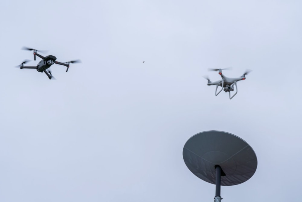
Credit: Unleash live

But Unleash live’s partnership with Starlink takes things to another level of usefulness. Not only is the company poised to provide data analysis and live streaming, it is now solving the problem of connectivity.

Right now, only about a third of the world has access to high-bandwidth, low-latency broadband internet. Starlink’s goal is to increase that coverage from a third to almost 100%—within the next year.

Starlink is currently building a constellation of internet-providing satellites, which will orbit the Earth. The company already has around 1,600 satellites in orbit, and plans to put almost 40,000 more into space. These satellites will enable high download speeds and low latency almost anywhere in the world.

Leveraging Starlink’s broadband network, Unleash live will be able to conduct commercial drone operations in remote areas where 4G and 5G connectivity isn’t available, allowing operators to collect, share, and automatically analyze high quality data from these locations.

Some examples of assets in remote locations that could benefit from this new level of connectivity include wind farm infrastructure, powerlines, railroads, and oil pipelines.

In addition to its partnership with Starlink, Unleash live has also partnered with several other telecom giants throughout the world, including Verizon’s Skyward in the U.S., Vodafone in the U.K., Deutsche Telekom AG in Europe, and Optus in Asia.

Join a global community of

100,000+

drone enthusiasts.

Subscribe

Drone Pilot's Guide to DJI Mini 4 Pro

  • Navigate the DJI Fly app and flight modes with ease
  • Adjust camera and safety settings for better control
  • Understand intelligent flight features and how to use them
  • Avoid common beginner mistakes
  • Get the most out of your drone—without the guesswork

Drone Pilot's Guide to DJI Air 3S

  • Navigate the DJI Fly app and flight modes with ease
  • Adjust camera and safety settings for better control
  • Understand intelligent flight features and how to use them
  • Avoid common beginner mistakes
  • Get the most out of your drone—without the guesswork

Hands-On Flight Training

$295

400+ 5-Star Reviews

  • Team up with a knowledgeable, friendly instructor at a convenient outdoor spot — like a park or athletic field
  • Fly a top-rated drone provided for you, or bring your own to get personalized guidance
  • Spend most of your time in the air with hands-on practice — learning about composition, camera angles and cinematic motion
  • Explore the DJI Fly app and learn how to use camera settings like ISO, shutter speed and aperture
  • Unlock the power of Intelligent Flight Modes to fly smoother, smarter, and with less stress
  • Get access to our Aerial Photo & Video online course with additional exercises and pro-level editing workflows – using Snapseed, Photopea, Adobe Lightroom, DJI LightCut, and Premiere Pro

Aerial Photo & Video for Drone Pilots

$179

3,500+ 5-Star Reviews

  • How to dial in the right camera settings like ISO, shutter speed, and aperture
  • The best angles & altitudes for different types of shots (real estate, landscapes, cityscapes, and more)
  • The secret to cinematic drone motion that makes your footage feel like a Hollywood movie
  • How to enhance colors, remove distractions, and sharpen details – even in tricky lighting
  • Pro-level editing workflows – whether you’re using Lightroom, free tools, or mobile apps

The Recreational UAS Safety Test

Free

150+ 5-Star Reviews

  • Required for U.S. recreational flyers of drones
  • Launched June 2021 by the FAA
  • Takes about 30 minutes to complete
  • No prior drone knowledge needed
  • Test allows unlimited attempts to pass

Drone Mapping Essentials Workshop

$799

3,500+ 5-Star Reviews

  • Expert instruction from expert drone pilots with over 100 hours of flying experience
  • Hands-on training of live data capture and how to process deliverables for your clients
  • Peer-to-peer networking with other professional drone pilots in the mapping industry
  • Free access to the online course, Drone Mapping Essentials

Flight Skills for Drone Pilots

$99

75+ 5-Star Reviews

  • 16 engaging video lectures with key takeaways
  • Action items with concrete steps so you put into practice what you learn
  • Pre-flight checklists to help you plan your flights
  • Resource links to websites, products and software for further learning and discovery

Drone Business & Mapping Bundle

$617 $397

3,500+ 5-Star Reviews

  • Drone Pilot Ground School
    1. 1:1 support with a Part 107 exam success coach
    2. Study 100% online at your own pace
    3. Unlimited practice exams with 400+ real FAA test questions
  • Drone Mapping Essentials
    1. 100+ instructional videos focused on real-world application with high-quality videos
    2. Downloadable resources like data capture checklists to utilize in your missions
    3. Monthly live instruction with course instructor, Dylan Gorman, to go deeper on topics where you need more clarification
  • The Drone Business Blueprint
    1. Expert instruction from industry veteran, Eno Umoh, who brings real-world experience in building successful drone businesses.
    2. 14 Comprehensive modules covering everything from business setup to marketing strategies
    3. 30 Downloadable resources to apply your learning immediately

Hands-On Flight Training

$295

400+ 5-Star Reviews

  • 45-60 minutes of hands-on flying time to master orientation and flight maneuvers tailored to your skill level
  • Learn how to handle obstacles such as lost GPS, low battery charge or emergencies
  • Practice flying under various intelligent flight modes
  • Ask questions about regulations, software, flight operations management, and more

The Drone Business Blueprint

$119

3,500+ 5-Star Reviews

  • Expert instruction from industry veteran, Eno Umoh, who brings real-world experience in building successful drone businesses.
  • 14 Comprehensive modules covering everything from business setup to marketing strategies
  • 30 Downloadable resources to apply your learning immediately
  • AI tools and techniques to boost productivity and streamline your operations

Commercial Drone Business Bundle

$418 $334

4,000+ 5-Star Reviews

  • Drone Pilot Ground School
    1. 1:1 support with a Part 107 exam success coach
    2. Study 100% online at your own pace
    3. Unlimited practice exams with 400+ real FAA test questions
  • The Drone Business Blueprint
    1. Expert instruction from industry veteran, Eno Umoh, who brings real-world experience in building successful drone businesses.
    2. 14 Comprehensive modules covering everything from business setup to marketing strategies
    3. 30 Downloadable resources to apply your learning immediately

Drone Mapping Essentials

$199

3,500+ 5-Star Reviews

  • 100+ instructional videos focused on real-world application with high-quality videos
  • Downloadable resources like data capture checklists to utilize in your missions
  • Quizzes to test your knowledge so you can succeed in the field
  • Monthly live instruction with course instructor, Dylan Gorman, to go deeper on topics where you need more clarification

Drone Pilot Pro Bundle

$713 $499

3,500+ 5-Star Reviews

  • Drone Pilot Ground School
    1. 1:1 support with a Part 107 exam success coach
    2. Study 100% online at your own pace
    3. Unlimited practice exams with 400+ real FAA test questions
  • Drone Pilot Skill Builder
    1. 16 engaging video lectures with key takeaways
    2. Action items with concrete steps so you put into practice what you learn
  • Hands-On Flight Training
    1. 45-60 minutes of hands-on flying time to master orientation and flight maneuvers tailored to your skill level

Drone Pilot Ground School

$299

4,000+ 5-Star Reviews

  • 1:1 support with a Part 107 exam success coach
  • Study 100% online at your own pace
  • Unlimited practice exams with 400+ real FAA test questions
  • Personalized study plans, virtual flashcards, and 12-page cram sheet
  • Weekly webinars on acing the Part 107 exam and monthly webinars to elevate your journey post-certification