

Pix4D Unveils Four New Tools to Support Drone Inspection and Geospatial Applications
BY Zacc Dukowitz
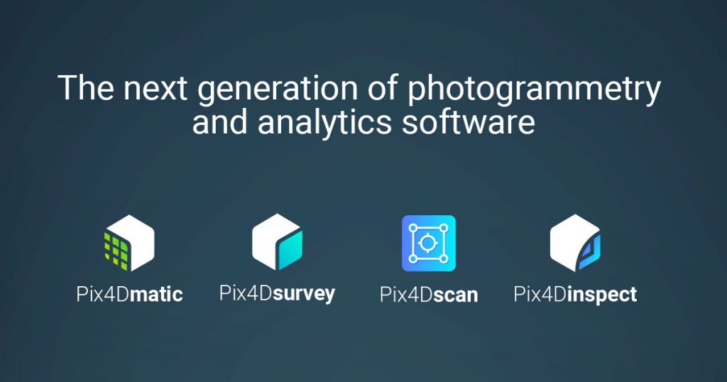
2 April 2020Swiss-based Pix4D just released four new tools—Pix4Dsurvey, Pix4Dmatic, Pix4Dinspect, and Pix4Dscan.
Pix4D’s mapping software has made it a household name in the drone industry. With these new releases, the drone software company is making an ambitious step into new territory, clearly setting its sights on dominating software that supports industrial drone applications.
Big picture, Pix4D is moving toward being an end-to-end software provider for those working with drones in inspections, surveying, and mapping.
[Just getting into drone mapping? Check out our Beginner’s Guide to Drone Mapping Software]
Pix4Dsurvey and Pix4Dmatic—Next Generation Photogrammetry
Photogrammetry is the science of using images to map and measure distances.
Although computational photogrammetry has been around since the 1980s, the increasing availability of drone technology has created an increase in the need to process visual data captured by drones, which in turn has helped push the development of photogrammetry software forward.
Pix4Dsurvey and Pix4Dmatic are the newest iteration in this effort. According to Pix4D, both of these tools were created to “address major challenges faced by those who work in the geospatial industry.”
The main things the tools were created to do is save surveyors and mappers time—lots and lots of it—without sacrificing quality and exactitude in the data produced.
Pix4Dsurvey and Pix4Dmatic represent the next step in photogrammetry, addressing major challenges in the geospatial industry.
Pix4Dsurvey
Pix4Dsurvey is a tool for surveyors and mappers that bridges the gap between digital photogrammetry with drone data and CAD.
The software takes point cloud data and turns it into CAD-ready formats, allowing surveyors to not only create detailed maps with raw visual data but then, if needed, to manipulate that data.
Pix4Dsurvey can:
- Significantly reduce overall surveying time
- Work with Pix4Dmapper and LiDAR point cloud data
- Work with more than one point cloud file at once
- Handle billions of points
- Use points, polylines, polygons, and catenary curves to vectorize projects (to “vectorize” is to turn an images into points and paths—see the image below for an example)
- Expand use cases and possibilities for surveying and mapping professionals

Visualization of an Image Being Vectorized
Pix4Dsurvey is for sale right now at a promotional price of $130/month. Learn more here on the Pix4D website.
Pix4Dmatic
According to Pix4D, Pix4Dmatic is a new drone photogrammetry software product that will “enable accurate drone mapping on a new scale.”
The Pix4Dmatic webpage reads Are you ready to go big? and with good reason, since processing huge amounts of images is the main feature of this new tool.
If you have thousands and thousands of images you need to process into point cloud data for surveying purposes while still retaining survey-grade accuracy, this is the tool for you.
After you’ve converted your data into point clouds, you can export it to Pix4Dsurvey to work with it.
Pix4Dmatic can:
- Process thousands of images
- Maintain survey-grade accuracy throughout processing
- Generate point cloud data from images twice as fast as comparable alternatives on the market
- Help surveying and mapping professionals save time with streamlined processing workflows and built-in templates
- Import drone images from Pix4Dcapture and export point cloud data to Pix4Dsurvey (or other surveying software)
Pix4Dmatic is not yet for sale but Pix4D is accepting applications for its Pix4Dmatic beta program. Learn more about the Pix4Dmatic beta program here on the Pix4D website.
Pix4Dmapper 4.5
As if all these new tools weren’t enough, Pix4D has also rolled out version 4.5 of its classic Pix4Dmapper.
The main highlight here, as with Pix4Dsurvey and Pix4Dmatic, is that version 4.5 can save you time. It speeds up point cloud generation and image calibration by an average of 20% for each of these tasks—that’s a lot of time saved.

Pix4Dmapper 4.5 can be downloaded here on the Pix4D website.
Pix4Dscan and Pix4Dinspect—New Tools for Industrial Inspections
According to Pix4D, Pix4Dscan is a tool that can be combined with Pix4Dinspect to create an end-to-end solution for industrial inspections and asset management.

The use of UAS for industrial inspections has grown significantly in the last few years, with companies like Flyability releasing drones made just to fly indoors and conduct inspections, replacing the need for inspectors to enter hazardous spaces inside assets like boilers and pressure vessels.
But all that visual data collected during inspection flights needs to be managed, stored, and processed—and that’s where Pix4D’s new inspection tools come in.
Pix4Dscan
Pix4Dscan is a drone flight app designed to deal with complex structures.
The app helps automate inspection flights, with a special focus on tower inspections that includes flight plans for vertical structures.
After inspectors have conducted their flights, the visual data collected can be uploaded to Pix4D inspect to create 2D and 3D models.
Learn more about Pix4Dscan here on the Pix4D website.
Pix4Dinspect
Pix4Dinspect is a cloud-based analytics platform made to manage and inspect digital assets modelled with Pix4D’s photogrammetry.

The tool was created specifically for industrial inspections—think bridges, cell towers, power lines, and so on. It provides accurate measurements of the objects it models and uses AI algorithms to automatically recognize and classify objects within its models.
At the moment Pix4D only supports images from Parrot’s Anafi and DJI’s Phantom 4, but more drones should be added to that list soon.
Learn more about Pix4Dsurvey here on the Pix4D website.


