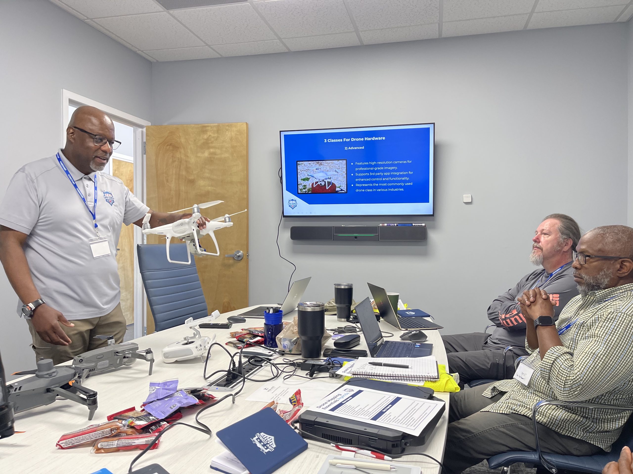
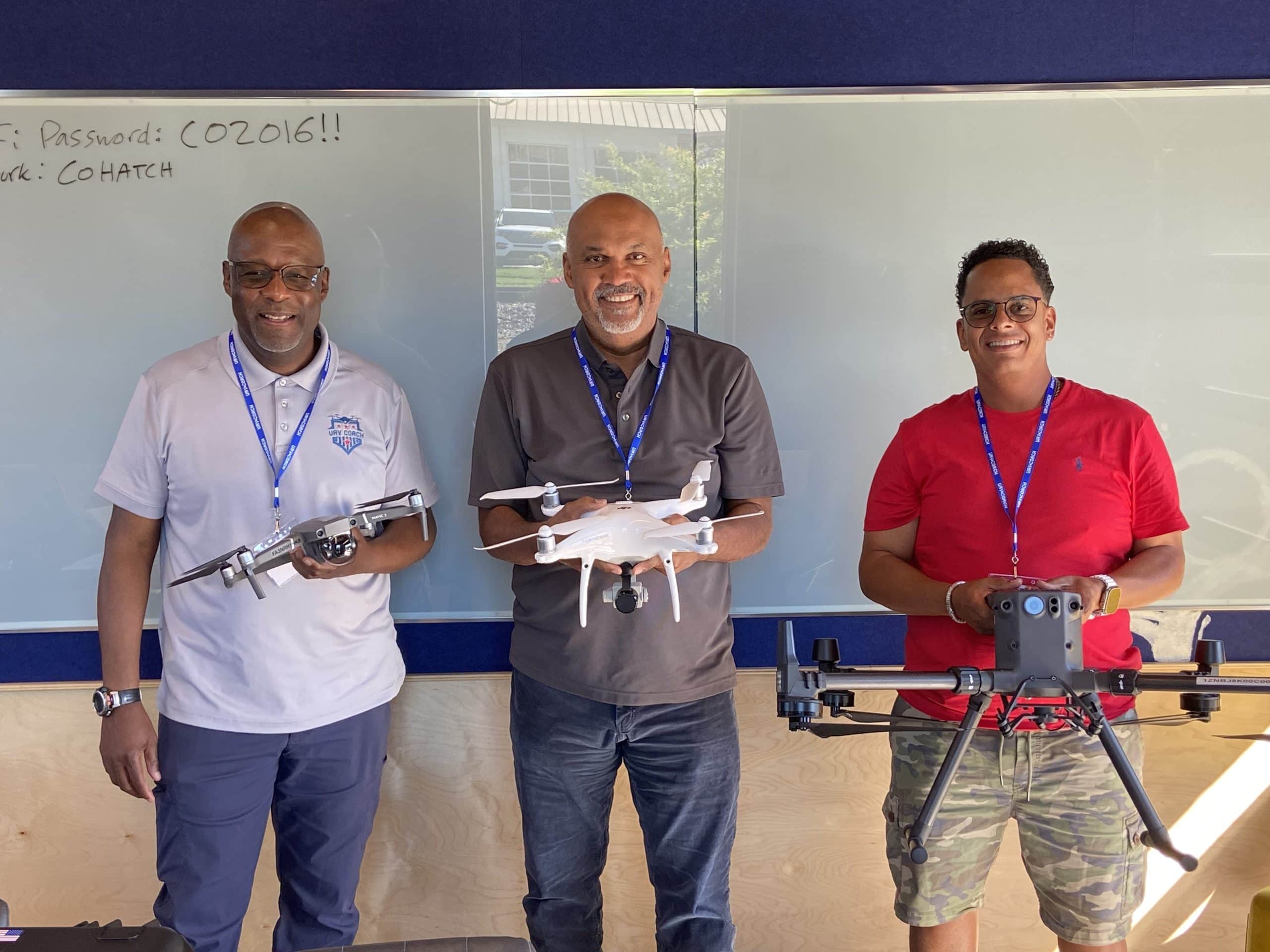
Drone Mapping Essentials
Workshop
2025 workshops have ended. Get notified when we post 2026 dates!
- Make more money by adding drone mapping to your drone pilot skill set
- Learn the critical skills for effective data collection and processing
- Capture and create a real world drone mapping data set to enhance your portfolio
- Walk away with marketable skills that you can leverage in your drone pilot career
In-Person Drone Mapping Course
$799
Includes Free Online Drone Mapping Course ($199 Value!)
Drone Mapping Essentials Workshop
- Make more money by adding drone mapping to your drone pilot skill set
- Learn the critical skills for effective data collection and processing
- Capture and create a real world drone mapping data set to enhance your portfolio
- Walk away with marketable skills that you can leverage in your drone pilot career
In-Person Drone Mapping Course
$799
What to Expect

Expert Instruction
Gain real-world drone mapping training from qualified drone pilots with 100+ hours of flying experience.
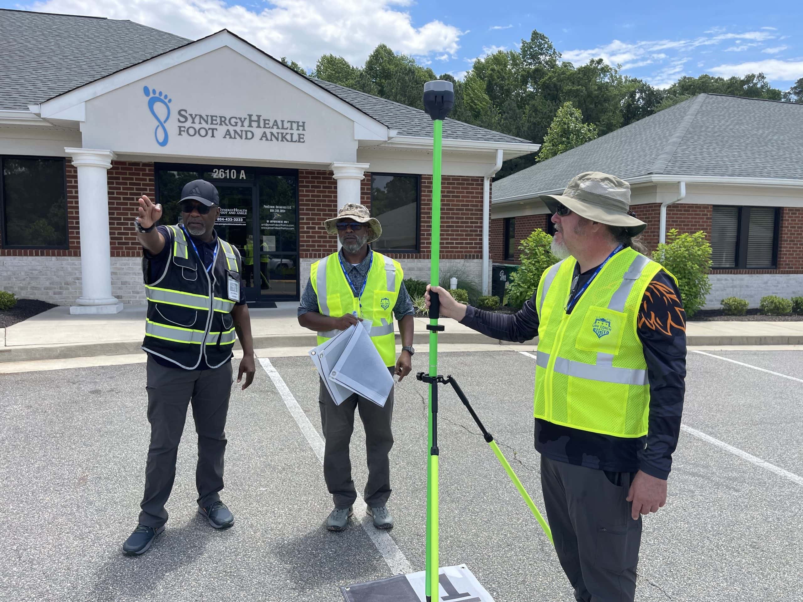
Hands-On Training
Apply your learning directly in the field with live data capture. Get an in-depth workflow on how to process deliverables for your clients.

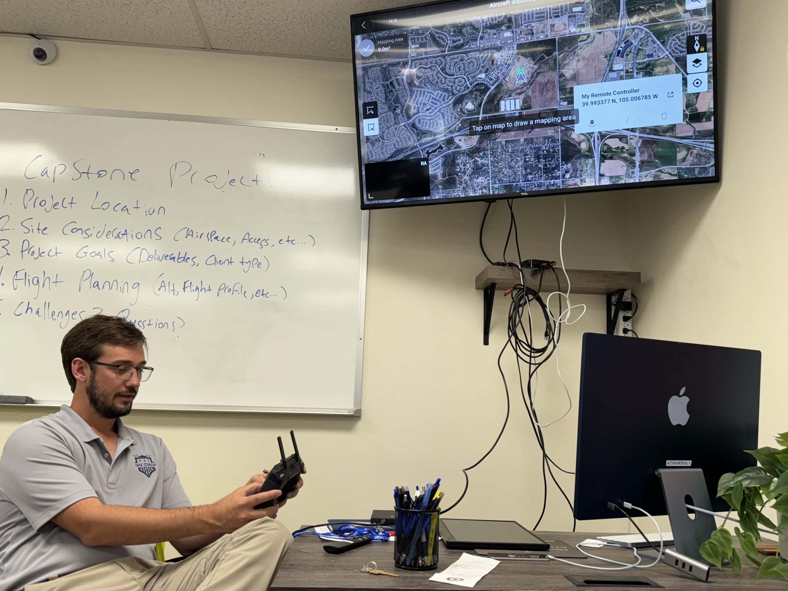
Aerial Mapping Framework
Get access to proven methods with live step-by-step instruction on acquiring data in the field.

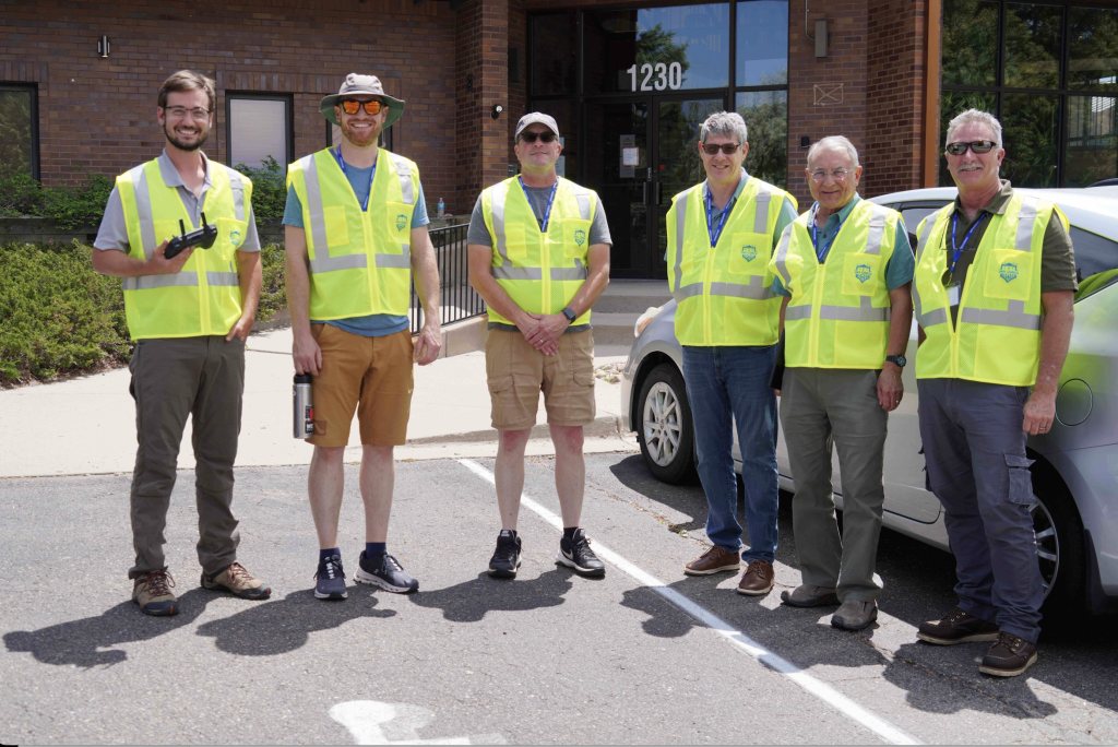
Peer-to-Peer Networking
Network and connect with other professional drone pilots. Connect, learn, and grow together.
Save Time and Capture More Data with Drone Mapping
Upcoming Drone Mapping Workshops
Tampa
November 14, 2025— 1 Seat Left
9:00 AM-5:00 PM
2803 W Busch Blvd
Tampa, FL 33618
Interested in a private workshop or don’t see your location? Contact us.

Tom Peden
Tom Peden is a full-time FAA-certified drone pilot with extensive experience documenting construction sites and providing GIS maps to showcase proposed and completed projects. He also specializes in stockpile analysis and elevations. Tom enjoys working with Drone Deploy for autonomous flight missions and GIS work-related flights. He loves helping people get comfortable with their drone and seeing their expressions of joy after their first successful flight.
Drone Mapping Workshop Agenda At A Glance
Recommendations for Attendees
- A current Part 107 Remote Pilot License/Certificate & a minimum of 4 hours of drone flight time/experience
- Completion of the Drone Mapping Essentials online course (included for free with workshop purchase!)
Agenda
- Welcome & Introduction
- Overview & Objectives
- Photogrammetry Basics
- Industry Applications
- Equipment Essentials
- Accurate Mapping Techniques
- Lunch Break*
- Basic Mission Planning
- Generating Accurate Maps with GCPs
- Advanced Mission Planning
- RTK & PPK Concepts
- Hands-On Activities:
- Field Exercises:Â Participate in capturing a basic 2D map in the field and setting up GCPs.
- Processing Data: Learn how to process captured data using Pix4D Mapper, generating ortho photos, point clouds, DSM, DTM, and contours.
- Processing Data: Learn how to process RTK and PPK data using Pix4D Mapper and other software tools like Emlid Studio.
- Certificate of Completion:
- Receive a certificate at the end of the day, along with access to all data captured and processed during the workshop.
Student Reviews From Workshop Attendees
“I liked the full encompassing of executing a drone mission for mapping, from start to finish. I thoroughly enjoyed this workshop and will definitely be recommending it to others!”
Eric S.
Denver, CO
“Exceptional course with exceptional instructors (James Newton is the BEST). The material was easy to understand, digest and execute during the hands-on portion. Ultimately, I left the class confident and prepared to offer a well prepared aerial mapping product. BRAVO!!”
Jesse G.
Richmond, VA
“I was looking for an understanding on the wide options of drone mapping and during this class I got all my questions answered. Amazing knowledge transfer. Keep up the good work.”
Jaime R.
Atlanta, GA
Get Notified for 2026 Drone Mapping Training Dates!
Online Drone Mapping Course ($199 Value!)
Included for free with purchase of workshop
Learn about the history and its current applications
Created for budgets both big and small
Including pre-flight planning, in-field procedures, data capture, and post-capture procedures
Get familiar with the use of analytics and AI tools in processing mapping
Both digital and physical!
Get in the know on how pros get reliable and accurate data for their clients
Receive practical video lessons with easy-to-understand case studies
Questions? Contact us at 888.626.9052 or training@uavcoach.com.
Meet the Instructors

Dylan Gorman
Tampa & Orlando Instructor
Dylan Gorman is an experienced commercial drone pilot with over 10 years of experience, the last 5 of which have been focused on drone mapping. He has completed and managed over 5,000 flight missions in this field and has a successful track record in the industry. Gorman has also sold a drone business and now works as an educator in the drone space, sharing his knowledge and expertise with others.

James Newton
Pittsburgh Instructor
James Newton is an FAA Part 107 certified drone pilot who owns and operates Airtello, a full-service drone provider, focusing primarily on commercial property management and construction. He is a U.S. Air Force veteran and is a representative of the FAA Washington, DC Flight Standards District Office (FSDO) FAA Safety Team (FAAST) as a Drone Professional. James has experience flying a wide variety of DJI drones, including the Mavic, Phantom, Inspire and Matrice series. He is experienced in mapping large sites using various automated mapping software.

Zac Burns
Denver Instructor
Zac Burns holds several FAA certificates including Private Pilot Airplane and Glider, Remote Pilot, and Advanced Ground Instructor. He has trained over 250 industry professionals in telecom UAS operations during his time with Precisionhawk and Skyward. Zac currently operates Vertical Aerolytics, specializing in construction documentation, high-precision mapping, infrared inspections, and vertical infrastructure assessments. When Zac isn’t instructing or flying drones for his company, you may be able to look up and find him flying his 1966 Piper Cherokee around the Denver area.

Tom Peden
Houston Instructor
Tom Peden is a full-time Part 107-certified drone pilot with extensive experience documenting construction sites and providing GIS maps to showcase proposed and completed projects. He also specializes in stockpile analysis and elevations. Tom enjoys working with Drone Deploy for autonomous flight missions and GIS work-related flights. He loves helping people get comfortable with their drone and seeing their expressions of joy after their first successful flight.
Frequently Asked Questions
- Denver, CO
- Atlanta, GA
- Pittsburgh, PA
- Tampa, FL
- Orlando, FL
- Houston, TX
- Richmond, VA
Fill out the form above if you’d like to see a workshop near you in 2026!
We’ll provide a Mavic 3 Enterprise drone and accessories for students to use during this workshop. No need to bring your own!
This workshop is open to everyone, but we strongly recommend that you have an FAA Part 107 certification. If you’re interested in becoming a certified drone pilot, check out our FAA certification guide. We’d love to help you study!
We won’t make you fly in the rain! The Drone Mapping Essentials workshop is a combination of inside classroom work and outside flying, so our instructors will work around the weather to ensure the best total experience. In the event the workshop is canceled due to inclement weather and you can’t attend a future workshop, then we’ll provide you with a full refund.
Yes — we hold an insurance policy that covers up to $1 million in liability during the workshop.
If you’ve never flown a drone before — then likely not, as this workshop does not teach participants how to fly a drone. We think of this as a next step for folks who have solid drone experience and are looking to build their portfolio of skills and learn more about mapping. We do welcome folks new to mapping or those who already have some mapping experience.
We cap our workshops to 8 students with 1 instructor, meaning you’ll have ample time to engage, learn and fly!
Yes — if you’re purchasing on behalf of someone else, please enter the student’s full name and email address in the participant field. Then you can input your payment information. Reach out to us at training@uavcoach.com if you run into any issues!
We know things come up, and sometimes at the last minute. If you cancel 5 or more days from the start of your class, you’re eligible for a full refund. For cancellations 4 days or less from the event date, you’re eligible for either a credit for the next workshop or a refund, minus a $100 cancellation fee.
Yes! If you’re registering 2+ people, you’ll save $100 off per registrant. Contact us at training@uavcoach.com for a discount code.
Contact us at training@uavcoach.com or 888-626-9052 for questions about whether our instructors can come to you to conduct this training.
No need to bring your drone, we will provide the proper drones and other tools used in mapping.
Yes! Please email us at training@uavcoach.com or give us a call at 888.626.9052 so we can work with you on a personalized payment plan. Credit approval is required to qualify.