

How Can Drones Help Cities? DroneUp’s Innovative Municipalities Project Seeks to Answer This Question
BY Zacc Dukowitz
23 December 2021DroneUp has been incredibly busy this year.
Last month alone, it announced the acquisition of AirMap and the launch of three multi-site drone delivery hubs in partnership with Walmart. And earlier this year, it won a government bid for a maritime inspection by drone that led to an entirely new line of business.

But out of everything that DroneUp has been working on in 2021, one of its most interesting projects seeks to revolutionize cities by using drones.
The initiative is called the Innovative Municipalities Project, and its aim is to help “cities improve their work by leveraging drone technology.”
By working closely with city leaders, DroneUp identifies specific areas in which drones could help a city improve its operations. Once these areas are defined, the DroneUp team outlines tests to demonstrate the capabilities of drones for doing the work and determine its feasibility.
The ultimate goal is to implement those drone operations that prove successful, and help cities drive down costs, increase efficiency, and improve safety in the process.
Winchester, Virginia First City to Partner with DroneUp
DroneUp’s first partner in the Innovative Municipalities Project is the city of Winchester, Virginia.
City leadership in Winchester is decidedly pro-drone, and has been looking for ways to improve city processes by using drones and other innovative technology for a few years now.
When it comes to drones specifically, Winchester has been exploring three areas of drone integration for the city:
1. Economic development. Helping locals start businesses as certified commercial drone pilots.
2. Education. Highlighting drone technology and drone careers in school curricula to drive interest in STEM and commercial drone careers.
3. City departments. Incorporating drones into the work city departments do to make them safer, more efficient, and less expensive.
The third area is where DroneUp’s work in Winchester focused, looking for ways that drones could be used by city departments to improve current practices.

DroneUp’s Five Drone Tests in the City of Winchester
Through close collaboration with city officials, the DroneUp team identified five potential uses for drones in the city that could have a big impact, and planned five tests to see whether they were feasible.
All five tests were carried out in a single week in September of this year, with the first test performed on a Monday, the second on a Tuesday, and so on.
Here are the results of those tests.
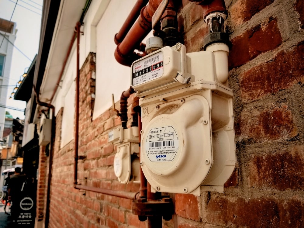
Test 1—Can You Read Water Meters with Drones?
In a first for us (and maybe for the world?) DroneUp personnel tested using a DJI Matrice 600 equipped with a handheld water meter reader to collect water meter data from the sky.
Winchester city officials were hoping to improve their water meter data collection process. The current process requires city employees to drive through neighborhoods, walking up to meters with a handheld device and recording data as they go.
The DroneUp team found that it could collect the same data from the air by drone, proving that the approach had merit and was worth further investigation.
Test 2—Can Drones Help Cities Fix Potholes?
Most cities are in charge of the care of their own roads, and part of that care requires regular pavement assessments.
A pavement assessment requires someone to photograph the roads. These photos are then analyzed by an expert pavement inspector, who determines whether the roads need to be repaired.
Collecting photos of the pavement requires roads to be shut down while people walk along them taking pictures, a process that’s slow, inefficient, and can result in data gaps.
But what if the same data could be collected by drone?
DroneUp tested this approach, and found that a drone could collect all the visual data needed for routine pavement assessments—and do it in a lot less time.
Test 3—Can You Measure Energy Loss by Drone?
You may have heard about home inspectors using thermal drones to see whether there is a big difference in the heat signatures around a building’s roof line or windows as compared to other parts of the building. These thermal leaks can indicate that the building isn’t properly insulated, and that energy is being wasted to heat or cool it.
DroneUp used the same principle to measure energy loss in an entire neighborhood in the city of Winchester, which has homes that date back over 100 years. City officials were concerned that many of the homes were in need of updates, and were leaking energy as a result.
Unfortunately, the day this test was scheduled it ended up raining, so the test had to be postponed. But the idea still has merit, and is one that other cities could consider using to help reduce energy loss for their citizens.
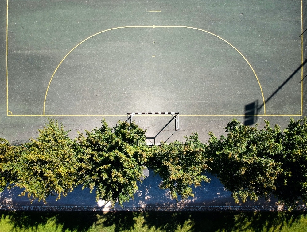
Test 4—Can You Map an Entire City by Drone?
Mapping presents a kind of Whac-a-Mole for city planners. As soon as a map has been created, new construction will start, and the map will quickly become obsolete.

Winchester, like many cities, deals with this problem by doing quick “tactical” mapping missions throughout the year, updating maps for areas that have undergone development.
These one-off mapping missions are conducted either manually, by having someone walk the area, or aerially, using a piloted craft. Neither approach is ideal—the manual approach is slow, and the piloted approach is expensive.
Using a DJI Inspire 2 and Ground Control Points, DroneUp proved that these tactical maps could be created using drone imagery, and that this approach had the potential to be both much quicker and much less expensive.
Test 5—Can Drones Help Maintain a City’s Trees?
This test might be the most interesting of them all.
Using drones, the DroneUp team conducted surveys of Winchester’s trees in a selected sample neighborhood, collecting aerial data in a 106-acre area over multiple flights in a period of about two hours.
The trees there were grown over onto power lines, presenting potential hazards for the lines and for drivers, who couldn’t see around them in some places.
The problem of tree maintenance is a chronic one for most cities, where there are often little to no resources for preventive surveys. Instead of identifying sites of potential tree-related accidents in advance so that proactive maintenance can be done, most cities just have to wait until the tree actually falls, and then clean it up.
The tree surveys that DroneUp conducted in Winchester ended up being a success. Winchester’s city arborists found that they could use the drone data collected to identify areas that needed attention, and that the approach was both inexpensive enough and produced visual footage of a high enough quality to be viable.
So What’s Next?
The interesting thing about the Innovative Municipalities Project is that it is meant to be tailored for each city’s specific needs.
While these five tests were the ones of most interest to Winchester, another city might decide to only adopt some of these approaches, or to create an entirely different list of use cases.
What we’re seeing these days, both in this project and across multiple industries, is that drones present the quickest, most efficient, and safest way to collect visual data (and, more and more, other types of data as well).
What exactly you want to collect data about, how you process that data, and what actions you take based on the findings—these are the questions that will determine your scope of work.
But the value of using drones to collect data remotely is clear, and the success of the tests performed in DroneUp’s latest initiative for cities only underscores this fact.


