How drones are being used in the construction industry
Drones are changing the way people in the construction industry do business, from providing stronger reporting to improving safety conditions and cutting costs.
Drones are changing the way people in the construction industry do business, from providing stronger reporting to improving safety conditions and cutting costs. Drones are changing the way people in the construction industry do business, from providing stronger reporting to improving safety conditions and cutting costs.
top drone model Picks
For the construction industry
DJI Mini 2
Price: $449
Battery Life: 31 minutes
The DJI Mini 2 is a great drone for training and skills acquisition. While this model is not recommended for mapping & modeling, it can take 12 MP photos and 4K at 30FPS video, which make it great for marketing or progress footage and overall a wonderful starter drone.
DJI Phantom 4 RTK
Price: $6,600
Battery Life: 31 minutes
The DJI Phantom 4 RTK is the go-to drone for many mapping professionals, It offers real-time, centimeter-level positioning data, and the mechanical shutter on the 20 MP camera makes mapping missions seamless without the risk of rolling shutter blur.
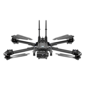
Skydio 2+ Enterprise Kit
Price: $4,997
Battery Life: 27 minutes
Skydio is based in the United States and offers its own 3D scanning and cloud-based software. The Skydio 2+ can help construction professionals save money and reduce risk throughout the construction process, from tasks like site mapping to progress monitoring.
Top Drone Software Picks
For the Construction Industry
DroneDeploy
The DJI Mini 2 is a great drone for training and skills acquisition. While this model is not recommended for mapping & modeling, it can take 12 MP photos and 4K at 30FPS video, which make it great for marketing or progress footage and overall a wonderful starter drone.
Propeller PPK
The DJI Phantom 4 RTK is the go-to drone for many mapping professionals, It offers real-time, centimeter-level positioning data, and the mechanical shutter on the 20 MP camera makes mapping missions seamless without the risk of rolling shutter blur.
Pix4D
Skydio is based in the United States and offers its own 3D scanning and cloud-based software. Skydio can help construction professionals save money and reduce risk throughout the construction process, from tasks like site mapping to progress monitoring.
Boost Your Career in the Construction Industry with an FAA Drone Pilot License
Even if you’re not directly selling drone photos or data, any kind of non-recreational drone flight in the U.S. requires a special kind of drone pilot license.
With our #1 FAA Part 107 test prep course, we guarantee that you’ll pass your 60-question multiple-choice exam. Watch the video to see why over 40,000 students have used our program to take their careers to new heights!
Team up with a knowledgeable, friendly instructor at a convenient outdoor spot — like a park or athletic field
Fly a top-rated drone provided for you, or bring your own to get personalized guidance
Spend most of your time in the air with hands-on practice — learning about composition, camera angles and cinematic motion
Explore the DJI Fly app and learn how to use camera settings like ISO, shutter speed and aperture
Unlock the power of Intelligent Flight Modes to fly smoother, smarter, and with less stress
Get access to our Aerial Photo & Video online course with additional exercises and pro-level editing workflows – using Snapseed, Photopea, Adobe Lightroom, DJI LightCut, and Premiere Pro