

Drones for CSI—How Drones Can Help Criminal Forensic Scientists Find Human Remains
BY Zacc Dukowitz
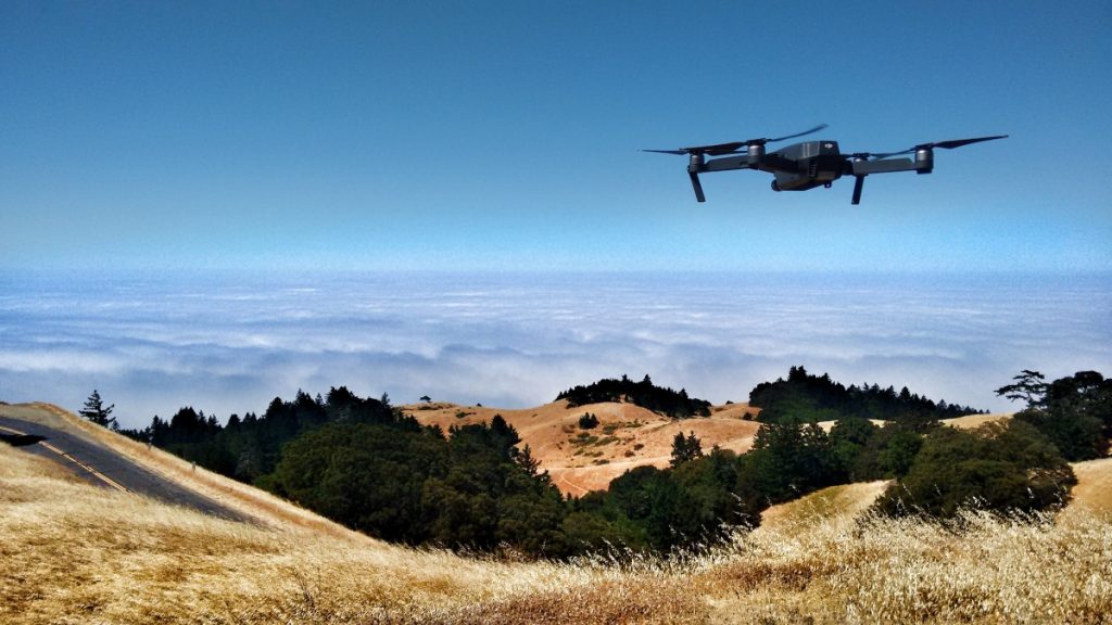
15 July 2020Flying a drone as part of a criminal forensic science team may be one of the most interesting new drone jobs out there.
When a person goes missing, investigators conduct massive searches in the area where the person is thought to be. Authorities conduct these searches on foot, methodically scanning the area for anything unusual that may help them find the missing person.

By scanning large areas of land in a short amount of time, drones have the potential to significantly speed up these search efforts.
Using drones equipped with infrared and other sensors, criminal forensic investigators have been experimenting with surveying huge areas of land to find anything that stands out, so they can pinpoint areas where search parties should concentrate their efforts.
[Related reading: 6 Ways Police Departments Use Drones in Their Work]
The use of drones in criminal forensics has so much potential that the U.S. Department of Justice recently awarded a grant of $280,000 to the Forensic Anthropology Center at Texas State University (FACTS) to help them use drones to locate human remains.
About the U.S. Department of Justice Grant for the FACTS
The new grant will support a two-year project run by the FACTS, during which forensic anthropologists at Texas State will “explore the capabilities and limitations of drones as tools for locating and identifying human remains.”
At the moment, using drones to find human remains is still in its early stages of development. The project will seek to lay out a foundation for drone use in criminal forensics, and create a path for bringing this new drone application into regular use.
We are planning on developing best practices, at least for Central Texas. The data we have can be applied to other environments, but those best practices may differ a little bit.
– Daniel Wescott, Director of FACTS
The ultimate goal of the project is to create standardized procedures for using drones in the search for human remains, so that law enforcement can have a solution in these situations that is quick and relatively easy to use.
The FACTS Project Approach and Anticipated Results
The FACTS project will initially focus on detailing the ways that drone technology compares to the technology currently being used to find human remains.
Drones will be tested for finding human remains with the following payloads and modifications:
- Infrared imaging
- Hyperspectral imaging
- Multispectral imaging
- Advanced light filters
Data collected by drone will then be compared to data collected using traditional tools, including handheld infrared cameras, temperature, and decomposition scores.
At the moment, it appears that drone data collected for criminal forensic purposes doesn’t accurately reflect data collected on the ground.
Initial findings from the FACTS indicate that the temperature readings collected from a human body as a drone flies higher may be inaccurate, and may grow more inaccurate as the distance increases between the drone and the body.
These inaccuracies mean that you couldn’t use drone data for forensics analysis or for testifying in court.
But these findings are not that significant, since the biggest value a drone provides a criminal forensics team is the ability to significantly speed up a search.
As the FACTS team tests drones with various sensors, it will be looking for ways to hone, improve, and systemize its approach, identifying the types of data drones can quickly gather to indicate the presence of human remains and other useful guidelines for criminal forensic efforts.
How Drones Can Help Find Human Remains
Here’s how the sensors investigators attach to drones actually help them find human remains:
- Near infrared (NIR) imaging. As a body decomposes, it introduces so many nutrients into the soil that the area is called a Cadaver Decomposition Island (CDI). Research indicates that CDIs show up on the NIR spectrum, and that drones equipped with NIR sensors could help find human remains by searching for CDIs.
- Infrared imaging. The presence of a dead body can significantly alter the composition of chemicals in the surrounding area. Nitrogen is one of the chemicals bodies release as they decompose, and the presence of extra nitrogen can change the chemical signature of plants growing over a grave, so much so that these plants reflect infrared light differently from other plants, allowing a drone equipped with an infrared sensor to identify the location of a human body.
- Hyperspectral/multispectral imaging. Spectral data collected by drone can be matched with an existing library of spectral data, which can help find both missing people and human remains. Examples of spectral data that has been catalogued include clothing samples from wet and dry conditions, skin tone data, and blood (both fresh and aged).

Although drones present an incredibly useful tool for expediting the search for human remains, this new application will require specialized software to analyze drone data in order to extract useful information.
If you’ve got someone missing that was wearing a red shirt, you could develop algorithms that look for red that’s not natural. The idea is, instead of just giving searchers the images, use computers to search those images with algorithms and provide them with a report on the best places to searcher.
– Daniel Wescott, Director of FACTS
For example, when a woman went missing in a rural part of Hays County, TX, investigators searched for several days but couldn’t find her. A drone was used in the effort, with several flights and many photographs taken, but she remained missing.
After the woman’s remains were finally discovered, investigators reexamined the drone data and realized that her body had been in some of the photos taken, but it was only possible to see this now that they knew what they were looking for.
[Related reading: DJI Launches Global Drone Rescue Map, A Living Record of Drone Rescues throughout the World]
It will be interesting to see the end results of the work done by the FACTS project, and to hear more about how drones are being incorporated into criminal forensic efforts over the next few years.
Do you think drones have the potential to significantly improve our abilities to find human remains? Chime in on this thread in the UAV Coach community forum.


