

Alaska DOT Tests DJI Dock and Matrice 30 for Monitoring—and Preventing—Avalanches
BY Zacc Dukowitz
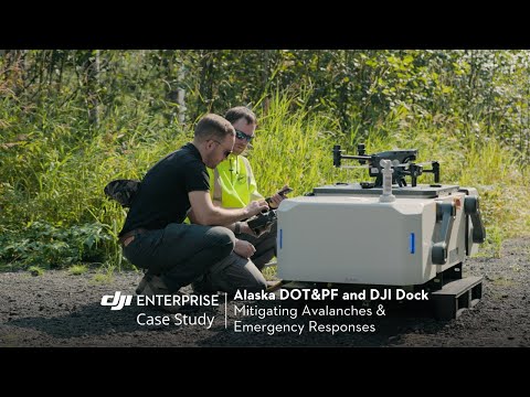
6 December 2023The Alaska DOT has partnered with DJI and surveying company Frontier Precision to test the Matrice 30 and DJI Dock for long-term operations in remote areas, including using drones to reduce avalanche hazards to roads.
The DJI Dock was made for work in the types of rugged conditions found in Juneau, Alaska, where the tests have been taking place.
But the dock isn’t just useful in these areas because it’s tough.
It allows the M30 to operate autonomously, which is ideal for the rough, remote terrain found near Juneau. With the Dock as its home base, the M30 can launch, land, recharge its batteries, and swap payloads on its own, making it a self-sustaining data collection device for constant monitoring.
These autonomous features are crucial for sustained operations, allowing DOT personnel to use the drone without having to be constantly present to monitor it, charge it—or even fly it.
How Is the Alaska DOT Using the M30 and the DJI Dock?
The main use case is to identify potential avalanche hazards with drone imagery, so DOT personnel can take steps to prevent or mitigate them.

Drone photo of an avalanche in Juneau | Credit: Pat Dryer/Alaska DOT
These tests are being conducted in a part of Juneau that’s known for having frequent avalanches. Using the M30, the Alaska DOT is able to collect high-resolution aerial imagery of the area, which is then reviewed to identify avalanche hazards.
With automated drone operations, the Alaska DOT and Frontier Precision can collect data faster and more efficiently, leading to improved decision-making and ultimately better outcomes during complex geohazard issues and improving the safety of highway corridors.
– Sean Muldoon, Services Specialist at Frontier Precision
But the DOT isn’t just doing monitoring. It’s also starting avalanches by drone.
Using a dropping mechanism approved by the FAA, the Alaska DOT is triggering and redirecting avalanches, allowing it not only to monitor them but to take an active role in managing them.
The key benefits the dock and drone solution have provided in the DOT’s tests are:
- Increasing safety by reducing the need for human intervention in drone missions.
- Increasing the amount of data that can be collected, enabling better decision making.
- Increasing efficiency and range, since the drone can cover a large area more quickly and efficiently than a person can.
- Saving time by helping DOT personnel avoid days of travel to collect avalanche monitoring data.
Using drones for avalanche monitoring is relatively uncommon, but it’s not a new idea.
What is new is the longevity that the dock technology enables.
Because the dock makes it possible to leave a drone in the field for long periods of time, collecting useful data without the need for anyone to be physically present, it presents a powerful tool for avalanche monitoring, allowing the DOT to collect data over longer stretches of time.

A New Use Case for DOTs
Drones have been used by state Departments of Transportation for some time now.
Some of the most common ways they’ve used drones include bridge inspections, surveying roadways, accident assessments, risk identification, and other infrastructure-related tasks.
In Minnesota, the state DOT has achieved a 40% cost savings using drones for bridge inspections, highlighting the economic benefits alongside enhanced safety and efficiency. And in North Carolina, the state DOT is using drones to inspect construction projects, allowing them to get more regular and accurate updates than was previously possible.
Avalanche monitoring, on the other hand, is a fairly new use case. And it’s one that dock technology is uniquely equipped to support.
This innovative new solution has the potential to revolutionize the way we conduct long-term drone operations, particularly in Alaska’s more remote areas.
– Ryan Marlow, UAS Coordinator for Statewide Aviation
The Alaska DOT oversees a huge range of facilities and assets, including 237 airports and 9 ferries, which serve 35 communities along 3,500 marine miles, over 5,600 miles of highway and 839 public facilities throughout the state of Alaska.
The potential for long-term drone operations in the state is huge, by the DOT and by other state agencies, and will most likely expand far beyond the scope of avalanche monitoring.
Will We See More Adoption of Docks?
The M30 and the Dock were originally released as companion technology, making up DJI’s first ever drone-in-the-box.
But when DJI launched the new drone along with the new dock, some in the drone industry wondered if it would ever actually find a market.
The Dock may be the first DJI product that has no market. BVLOS and autonomous flight are generally prohibited by aviation authorities. An exception may be China, which is more permissive. (2/)
— Brendan Schulman (@dronelaws) March 21, 2022
Recently, we have seen drone-in-a-box solutions starting to get some traction, notably with Percepto’s drones being used for monitoring at power stations.
But both the use cases and the permissions required to make them a reality seem to have been slow to materialize over the last few years, seeming to confirm the views shared above by Brendan Schulman on Twitter.
And yet DJI keeps pushing forward. The company recently released the Dock 2 along with a new drone, the Matrice 3D.

The Dock 2 and the Matrice 3D | Credit: DJI
For now, the two products are only available in China.
But the Alaska DOT’s tests demonstrate the power of this technology. And, more and more, it seems like only a matter of time before we start seeing wider approvals opening the floodgates for adoption in the U.S.


