

AirMap Is Shutting Down Its Drone Traffic Management App
BY Zacc Dukowitz
6 June 2023AirMap will be closing down its traffic management app.
And the change is coming soon—the final day the app will be supported is June 22.
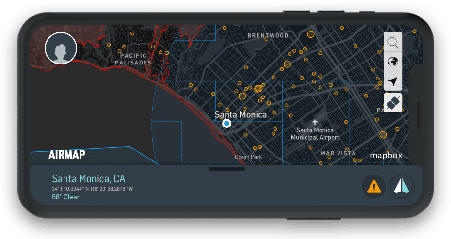
Credit: AirMap
How This Impacts LAANC Requests
AirMap has already stopped supporting LAANC services for immediate airspace authorizations on the app.
- If you have an authorization with a pending or accepted status scheduled before June 22 you’re good to go—nothing to worry about with these.
- If you have an authorization for any time after June 22 you’ll need to find an alternate option (someone from AirMap should reach out to help you navigate this—but it might be worth doing your own research).
LAANC stands for Low Altitude Authorization and Notification Capability. The LAANC system references UAS Facility Map data to issue automatic airspace authorizations to fly at or below 400 feet in controlled airspace.
Prior to LAANC, airspace authorization requests from drone pilots had to go through a manual review.
These reviews could take as long as 90 days and made it hard to plan missions in controlled airspace. LAANC was rolled out in 2017 to fast track authorizations, reducing the time needed for getting airspace authorizations from 30-90 days down to 30 seconds.
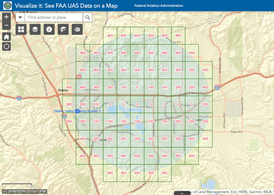
LAANC makes instant authorizations possible by accessing data from UAS Facility Maps—maps that show the maximum altitudes around airports where the FAA may authorize part 107 UAS operations without additional safety analysis.
If you’ve been using AirMap for LAANC requests here are some trusted alternatives:
Note: There are five other apps that offer LAANC for free, making a total of seven. See all of them on the FAA’s website.
The Future of LAANC
With the departure of AirMap, the LAANC landscape is getting even more sparse.
When the FAA first announced that LAANC requests would only be available through third party parties there was some grumbling in the drone industry. People were worried that private companies could lure you in with free services and then jack up the price. They were also worried that private companies might not provide the same quality of service, or reliably provide service at all.
The first concern has never materialized. But the second seems more and more prescient. As companies drop off and stop offering the service, it’s starting to look like offering LAANC in a company’s app may simply not be a viable way to make sure everyone can access the service.

Underscoring these concerns, Joshua Ziering, the founder of Aloft, said in a statement following AirMap’s announcement:
I was incredibly disappointed to see AirMap end-of-life-ing their application that gives access to LAANC . . . This is also the 2nd UAS Service Supplier to cease offering services in just the last year – a troubling indicator for the health of the USS ecosystem at large.
In the same statement, Ziering made some clarifications about how third parties like his company work with the FAA to provide LAANC services:
- The FAA does not pay LAANC service providers.
- LAANC service providers can charge as much as they want to provide LAANC services (but typically choose not to do so).
- Offering LAANC services does cost companies money. Even though the FAA doesn’t charge them to offer LAANC services, companies have to pay for software development, upkeep, and personnel to offer the service.
Is AirMap Closing for Good?
No.
But it is pivoting, and it’s unclear exactly to what.
AirMap is currently owned by DroneUp. And DroneUp recently went through sweeping layoffs as it tries to become profitable, resulting in the company narrowing its focus to providing only drone delivery services.
Dropping AirMap’s app is probably part of this belt tightening. Most likely, the future of AirMap will be driven by DroneUp’s focus on drone delivery.
In a statement about the app shutting down, AirMap said “over the past several months, our team has been hard at work building a next generation product. Our new mission is to enable autonomy and beyond visual line-of-sight flight at scale.”
We wouldn’t be surprised if the company announced a new focus soon on developing technology to provide drone delivery BVLOS.
Looking for alternate options for drone ops management now that AirMap is shutting down? Check out this guide: A Drone Pilot’s Guide to Flight Operations Management Tools.


