Aloft Launches Aloft Geo Portal, A Tool to Centralize Local Drone Laws
BY Zacc Dukowitz
24 May 2022Aloft (formerly Kittyhawk) has released a new geospatial data platform to help drone pilots know about the local laws that apply to the area in which they plan to fly.
The platform is called Aloft Geo Portal, and it’s free to use.

Anyone who flies a drone commercially in the U.S. knows there is sometimes a tension between federal and local laws.
We’ve reported several times about state laws that directly conflict with federal law. One example is a law in Texas that prohibited reporters from using drones in their work, which was recently struck down as unconstitutional.
Even for local drone laws that are completely in line with federal laws, there are still a lot of them to keep track of—this is one of the reasons we created our own resource listing drone laws by state several years ago, so that we could help drone pilots navigate all this complexity.
Aloft’s new portal provides yet another resource where you can learn about all of the laws, both federal and local, that might apply to the airspace in which you plan to operate.
The Aloft Geo Portal . . . aims to close the gap between FAA airspace rules and local ground rules for drone operations nationwide.
– Aloft press release
Local rules are often easy for drone pilots to miss, even for those who are sincerely trying to be compliant.
Aloft’s new portal will help address this information gap by creating a single, centralized platform where drone pilots can quickly find all the rules that apply to the area in which they plan to operate.
How Aloft Geo Portal Works
Aloft Geo Portal is a place where people can publish airspace and ground-rule advisories to the Aloft data network, including B4UFLY.
Using the portal, local authorities can input their local drone advisories and laws, providing a single place where commercial drone pilots can find all the drone laws they need to know about a given area before they fly.
The portal will essentially be a crowd-sourced platform, with users submitting their own data about drone laws and regulations.
The catch is that not just anyone can submit an advisory. To ensure that the information provided is accurate, only verified users of the portal can upload and manage airspace and ground space advisories.
And even verified users will still have their advisories subjected to authentication. Given the vetting Aloft will be doing, the information on the Aloft Geo Portal should be reliable and accurate.
Using the portal is fairly straightforward. Here’s how it works:
1. Create an Account
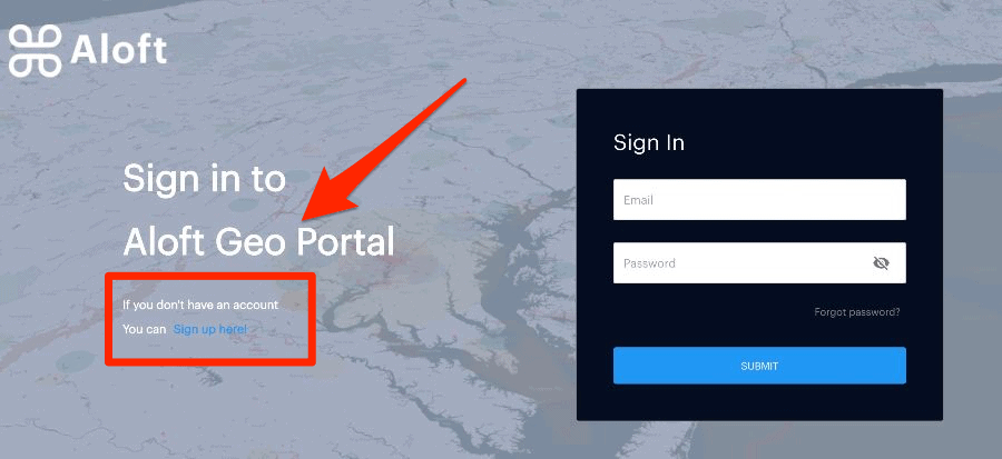
Go to the Aloft Geo Portal webpage and create your free account. If you already have an Aloft account, you can sign in using your existing credentials.
2. Search for Advisories
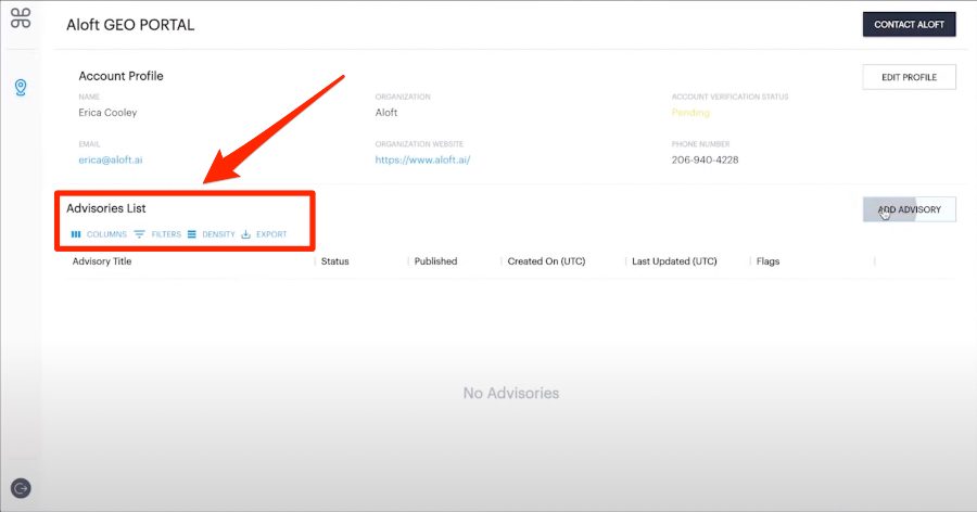
Once you’re logged in, you can use the filters provided to search for advisories in the airspace in which you plan to operate.
3. Add Advisories
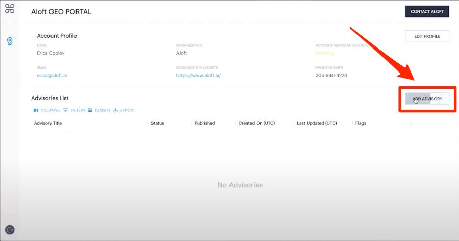
You can also add your own advisories by clicking the “ADD ADVISORY” button on the right.
Watch this short video to get more information on how Aloft Geo Portal works:

Initial Rollout
At first, new advisories submitted to the Aloft Geo Portal will be published on a rolling basis.
The first set of advisories will go live in June, allowing for a transition period for the Aloft team to onboard new users, verify those who wish to submit advisories, authenticate the advisories submitted, and then actually post them to the portal.
We’re connecting the dots between drone operators, local governments, and comprehensive rules of operations to the largest and most active drone flight data network. As it exists today, there’s a major information awareness gap in the industry and for drone pilots everywhere that makes compliance elusive. Aloft aims to solve this problem as this is a missing piece for UTM systems across the globe.
– Jon Hegranes, Founder and CEO of Aloft
According to Aloft, the portal will help address pain points felt not only by drone pilots, but also by those who oversee local rules and regulations for drone operations, including those in place at local and state parks.
It will also help pave the way for making both drone deliveries and drone taxis more mainstream one day.

Credit: Aloft
Aloft already makes up over 70% of LAANC instant airspace authorizations.
The launch of this portal, whose information will be available from within the Aloft app, will only further secure the company’s position as one of the most commonly used drone ops management platform in the U.S.


